Photos • Location


Size of this preview:
800 × 600 pixels. Other resolutions:
320 × 240 pixels |
640 × 480 pixels |
1,024 × 768 pixels |
1,280 × 960 pixels |
2,560 × 1,920 pixels |
4,000 × 3,000 pixels.
Original file (4,000 × 3,000 pixels, file size: 6.37 MB, MIME type: image/jpeg)
| This is a file from the
Wikimedia Commons. Information from its
description page there is shown below. Commons is a freely licensed media file repository. You can help. |
Summary
| Description |
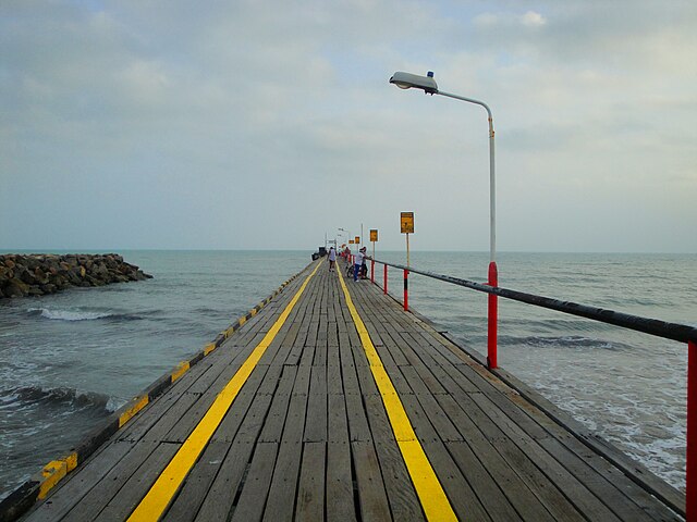
English: Pontoon
Français : Ponton |
| Date | |
| Source | Own work |
| Author | Jbdrm |
| Camera location |
| View this and other nearby images on: OpenStreetMap |
|
|---|
Licensing
| I, the copyright holder of this work, release this work into the
public domain. This applies worldwide. In some countries this may not be legally possible; if so: I grant anyone the right to use this work for any purpose, without any conditions, unless such conditions are required by law. |
File history
Click on a date/time to view the file as it appeared at that time.
| Date/Time | Thumbnail | Dimensions | User | Comment | |
|---|---|---|---|---|---|
| current | 05:35, 25 January 2013 |
| 4,000 × 3,000 (6.37 MB) | Slick-o-bot | Bot: convert to a non-interlaced jpeg (see bug #17645) |
| 19:14, 30 September 2010 |
 | 4,000 × 3,000 (5.86 MB) | Jbdrm | {{Information |Description={{en|1=Pontoon}} {{fr|1=Ponton}} |Source={{own}} |Author= Jbdrm |Date=20 mai 2010 |Permission= |other_versions= }} {{location dec|11.553357|-72.907543}} |
File usage
The following pages on the English Wikipedia use this file (pages on other projects are not listed):
Global file usage
The following other wikis use this file:
Metadata
Size of this preview:
800 × 600 pixels. Other resolutions:
320 × 240 pixels |
640 × 480 pixels |
1,024 × 768 pixels |
1,280 × 960 pixels |
2,560 × 1,920 pixels |
4,000 × 3,000 pixels.
Original file (4,000 × 3,000 pixels, file size: 6.37 MB, MIME type: image/jpeg)
| This is a file from the
Wikimedia Commons. Information from its
description page there is shown below. Commons is a freely licensed media file repository. You can help. |
Summary
| Description |
English: Pontoon
Français : Ponton |
| Date | |
| Source | Own work |
| Author | Jbdrm |
| Camera location |
| View this and other nearby images on: OpenStreetMap |
|
|---|
Licensing
| I, the copyright holder of this work, release this work into the
public domain. This applies worldwide. In some countries this may not be legally possible; if so: I grant anyone the right to use this work for any purpose, without any conditions, unless such conditions are required by law. |
File history
Click on a date/time to view the file as it appeared at that time.
| Date/Time | Thumbnail | Dimensions | User | Comment | |
|---|---|---|---|---|---|
| current | 05:35, 25 January 2013 |
| 4,000 × 3,000 (6.37 MB) | Slick-o-bot | Bot: convert to a non-interlaced jpeg (see bug #17645) |
| 19:14, 30 September 2010 |
| 4,000 × 3,000 (5.86 MB) | Jbdrm | {{Information |Description={{en|1=Pontoon}} {{fr|1=Ponton}} |Source={{own}} |Author= Jbdrm |Date=20 mai 2010 |Permission= |other_versions= }} {{location dec|11.553357|-72.907543}} |
File usage
The following pages on the English Wikipedia use this file (pages on other projects are not listed):
Global file usage
The following other wikis use this file: