Photos • Location


Size of this preview:
800 × 600 pixels. Other resolutions:
320 × 240 pixels |
640 × 480 pixels |
1,024 × 768 pixels |
1,280 × 960 pixels |
2,592 × 1,944 pixels.
Original file (2,592 × 1,944 pixels, file size: 2.47 MB, MIME type: image/jpeg)
| This is a file from the
Wikimedia Commons. Information from its
description page there is shown below. Commons is a freely licensed media file repository. You can help. |
Summary
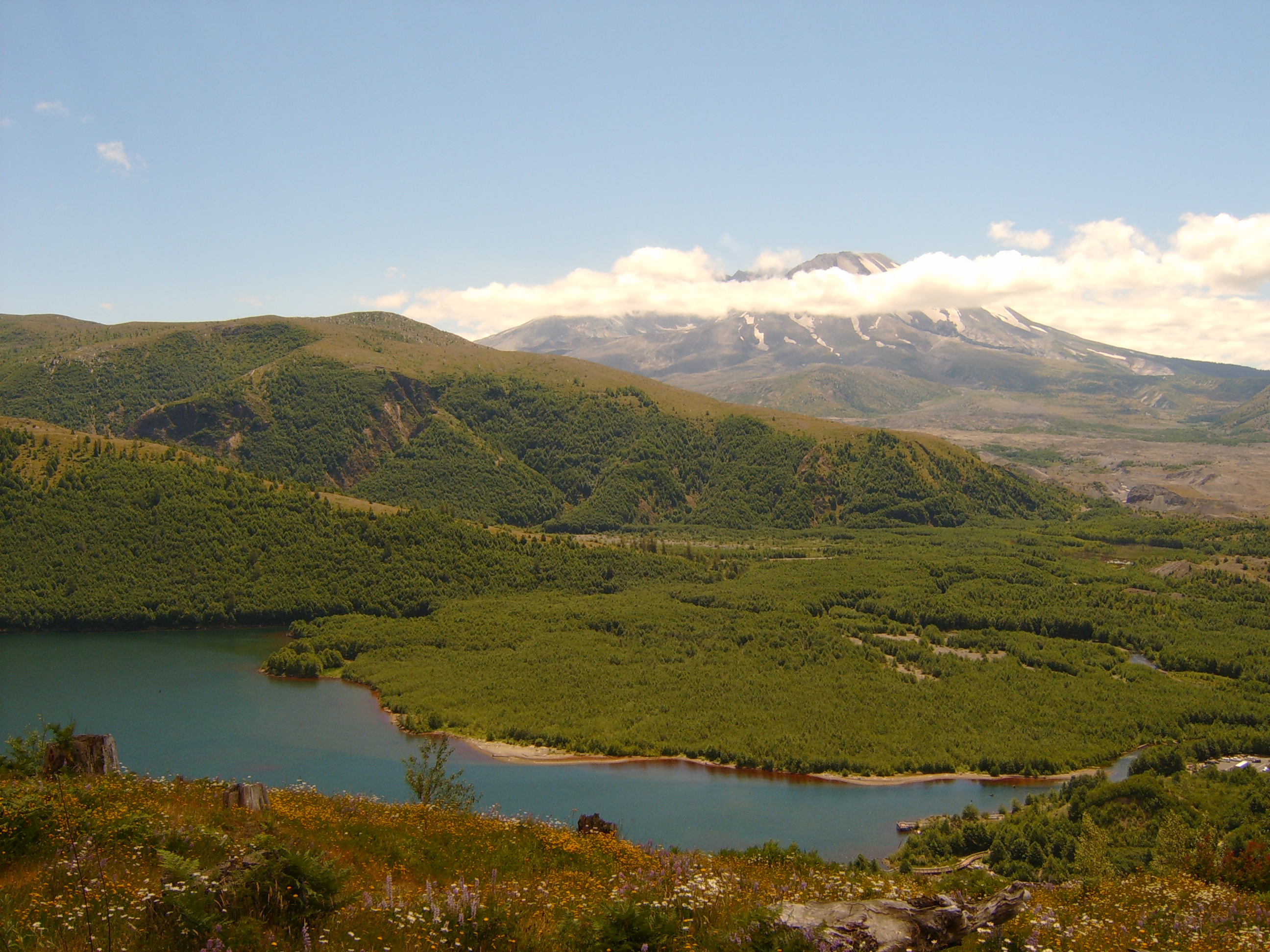
This picture was taken at coldwater observatory 7/15/06 in the state of Washington USA. The camera was a samsung Digimax 530.
| Camera location | | View this and other nearby images on: OpenStreetMap |
|
|---|
Licensing
| I, the copyright holder of this work, release this work into the
public domain. This applies worldwide. In some countries this may not be legally possible; if so: I grant anyone the right to use this work for any purpose, without any conditions, unless such conditions are required by law. |
File history
Click on a date/time to view the file as it appeared at that time.
| Date/Time | Thumbnail | Dimensions | User | Comment | |
|---|---|---|---|---|---|
| current | 22:04, 28 July 2006 |
| 2,592 × 1,944 (2.47 MB) | Renarddufresne | This picture was taken at coldwater observatory 7/15/06 in the state of Washington USA. The camera was a samsung Digimax 530. |
File usage
The following pages on the English Wikipedia use this file (pages on other projects are not listed):
Global file usage
The following other wikis use this file:
- Usage on ceb.wikipedia.org
- Usage on www.wikidata.org
Metadata
Size of this preview:
800 × 600 pixels. Other resolutions:
320 × 240 pixels |
640 × 480 pixels |
1,024 × 768 pixels |
1,280 × 960 pixels |
2,592 × 1,944 pixels.
Original file (2,592 × 1,944 pixels, file size: 2.47 MB, MIME type: image/jpeg)
| This is a file from the
Wikimedia Commons. Information from its
description page there is shown below. Commons is a freely licensed media file repository. You can help. |
Summary
This picture was taken at coldwater observatory 7/15/06 in the state of Washington USA. The camera was a samsung Digimax 530.
| Camera location | | View this and other nearby images on: OpenStreetMap |
|
|---|
Licensing
| I, the copyright holder of this work, release this work into the
public domain. This applies worldwide. In some countries this may not be legally possible; if so: I grant anyone the right to use this work for any purpose, without any conditions, unless such conditions are required by law. |
File history
Click on a date/time to view the file as it appeared at that time.
| Date/Time | Thumbnail | Dimensions | User | Comment | |
|---|---|---|---|---|---|
| current | 22:04, 28 July 2006 |
| 2,592 × 1,944 (2.47 MB) | Renarddufresne | This picture was taken at coldwater observatory 7/15/06 in the state of Washington USA. The camera was a samsung Digimax 530. |
File usage
The following pages on the English Wikipedia use this file (pages on other projects are not listed):
Global file usage
The following other wikis use this file:
- Usage on ceb.wikipedia.org
- Usage on www.wikidata.org