Photos • Location


Size of this preview:
800 × 578 pixels. Other resolutions:
320 × 231 pixels |
640 × 462 pixels |
1,024 × 740 pixels |
1,280 × 925 pixels |
2,147 × 1,551 pixels.
Original file (2,147 × 1,551 pixels, file size: 2.24 MB, MIME type: image/jpeg)
| This is a file from the
Wikimedia Commons. Information from its
description page there is shown below. Commons is a freely licensed media file repository. You can help. |
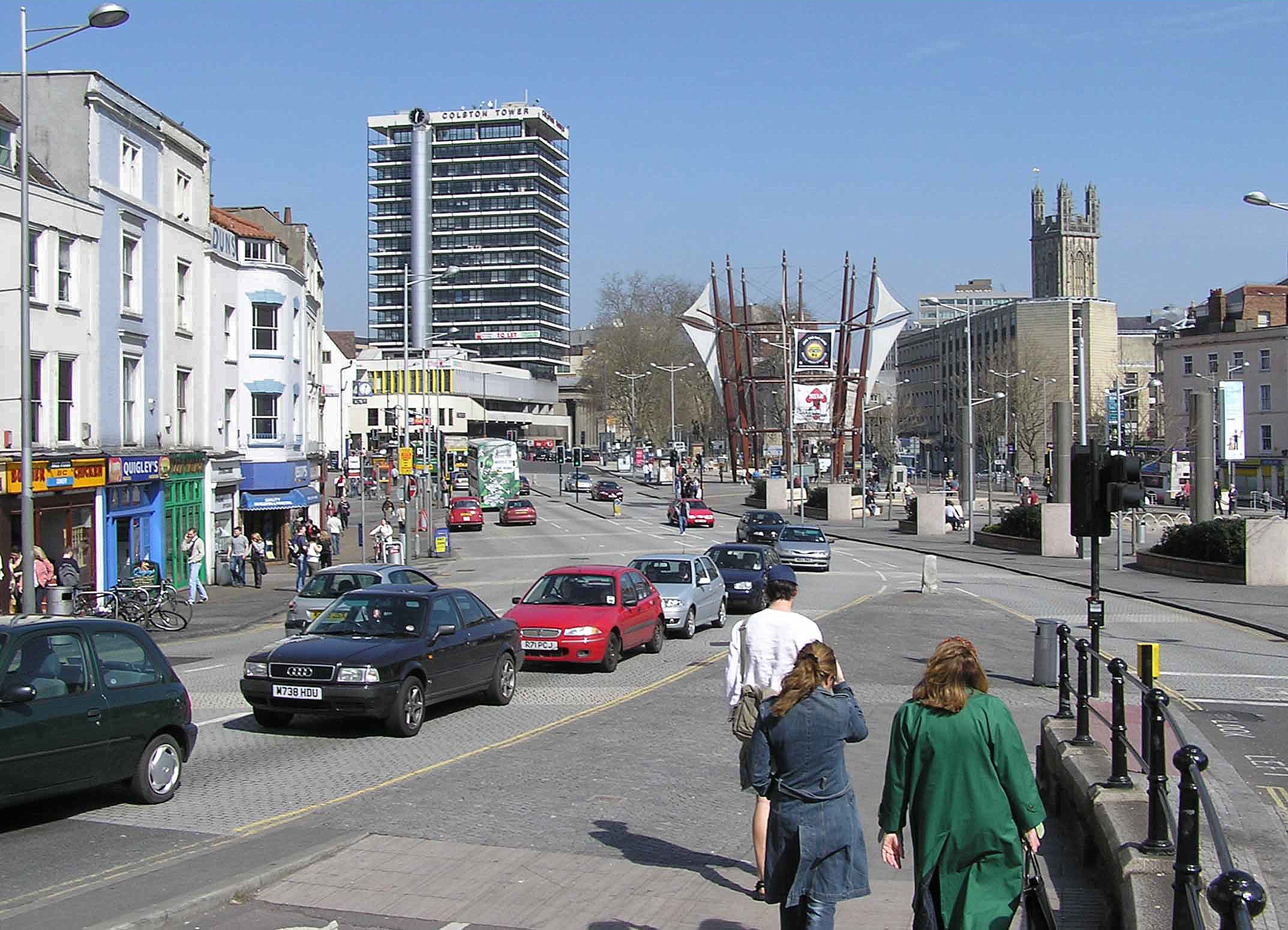
| Description | Bristol city centre, England. The wood poles with sails are a sculpture. I believe the tower is St. Stephens Church. | ||
| Date | |||
| Source | Photographed by Adrian Pingstone | ||
| Author | Adrian Pingstone | ||
| Permission ( Reusing this file) |
|
| Camera location | | View this and other nearby images on: OpenStreetMap |
|
|---|
File history
Click on a date/time to view the file as it appeared at that time.
| Date/Time | Thumbnail | Dimensions | User | Comment | |
|---|---|---|---|---|---|
| current | 21:34, 24 January 2008 |
| 2,147 × 1,551 (2.24 MB) | Arpingstone | Bristol city centre |
File usage
The following pages on the English Wikipedia use this file (pages on other projects are not listed):
Size of this preview:
800 × 578 pixels. Other resolutions:
320 × 231 pixels |
640 × 462 pixels |
1,024 × 740 pixels |
1,280 × 925 pixels |
2,147 × 1,551 pixels.
Original file (2,147 × 1,551 pixels, file size: 2.24 MB, MIME type: image/jpeg)
| This is a file from the
Wikimedia Commons. Information from its
description page there is shown below. Commons is a freely licensed media file repository. You can help. |
| Description | Bristol city centre, England. The wood poles with sails are a sculpture. I believe the tower is St. Stephens Church. | ||
| Date | |||
| Source | Photographed by Adrian Pingstone | ||
| Author | Adrian Pingstone | ||
| Permission ( Reusing this file) |
|
| Camera location | | View this and other nearby images on: OpenStreetMap |
|
|---|
File history
Click on a date/time to view the file as it appeared at that time.
| Date/Time | Thumbnail | Dimensions | User | Comment | |
|---|---|---|---|---|---|
| current | 21:34, 24 January 2008 |
| 2,147 × 1,551 (2.24 MB) | Arpingstone | Bristol city centre |
File usage
The following pages on the English Wikipedia use this file (pages on other projects are not listed):