Photos • Location


Size of this preview:
450 × 600 pixels. Other resolutions:
180 × 240 pixels |
360 × 480 pixels |
576 × 768 pixels |
768 × 1,024 pixels |
1,944 × 2,592 pixels.
Original file (1,944 × 2,592 pixels, file size: 1.87 MB, MIME type: image/jpeg)
| This is a file from the
Wikimedia Commons. Information from its
description page there is shown below. Commons is a freely licensed media file repository. You can help. |
.JPG)
Summary
| Description |
Deutsch:
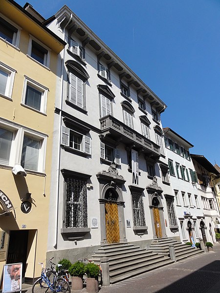
Bozen-Bolzano — Merkantilmuseum, Außenansicht (Silbergasse)
This file was uploaded with
Commonist. |
||
| Date | |||
| Source | Own work | ||
| Author | User:Mattes |
| Object location |
| View this and other nearby images on: OpenStreetMap |
|
|---|
.JPG¶ms=046.499144_N_0011.354212_E_globe:Earth_class:object_type:object_region:IT-BZ_&language=en)
Licensing
| I, the copyright holder of this work, release this work into the
public domain. This applies worldwide. In some countries this may not be legally possible; if so: I grant anyone the right to use this work for any purpose, without any conditions, unless such conditions are required by law. |
File history
Click on a date/time to view the file as it appeared at that time.
| Date/Time | Thumbnail | Dimensions | User | Comment | |
|---|---|---|---|---|---|
| current | 15:02, 28 May 2011 |
| 1,944 × 2,592 (1.87 MB) | Mattes |
File usage
The following pages on the English Wikipedia use this file (pages on other projects are not listed):
Global file usage
The following other wikis use this file:
- Usage on bg.wikipedia.org
- Usage on de.wikipedia.org
- Usage on de.wikivoyage.org
- Usage on it.wikipedia.org
- Usage on rm.wikipedia.org
- Usage on www.wikidata.org
- Usage on zh.wikipedia.org
Metadata
.JPG)
Size of this preview:
450 × 600 pixels. Other resolutions:
180 × 240 pixels |
360 × 480 pixels |
576 × 768 pixels |
768 × 1,024 pixels |
1,944 × 2,592 pixels.
Original file (1,944 × 2,592 pixels, file size: 1.87 MB, MIME type: image/jpeg)
| This is a file from the
Wikimedia Commons. Information from its
description page there is shown below. Commons is a freely licensed media file repository. You can help. |
Summary
| Description |
Deutsch:
Bozen-Bolzano — Merkantilmuseum, Außenansicht (Silbergasse)
This file was uploaded with
Commonist. |
||
| Date | |||
| Source | Own work | ||
| Author | User:Mattes |
| Object location |
| View this and other nearby images on: OpenStreetMap |
|
|---|
Licensing
| I, the copyright holder of this work, release this work into the
public domain. This applies worldwide. In some countries this may not be legally possible; if so: I grant anyone the right to use this work for any purpose, without any conditions, unless such conditions are required by law. |
File history
Click on a date/time to view the file as it appeared at that time.
| Date/Time | Thumbnail | Dimensions | User | Comment | |
|---|---|---|---|---|---|
| current | 15:02, 28 May 2011 |
| 1,944 × 2,592 (1.87 MB) | Mattes |
File usage
The following pages on the English Wikipedia use this file (pages on other projects are not listed):
Global file usage
The following other wikis use this file:
- Usage on bg.wikipedia.org
- Usage on de.wikipedia.org
- Usage on de.wikivoyage.org
- Usage on it.wikipedia.org
- Usage on rm.wikipedia.org
- Usage on www.wikidata.org
- Usage on zh.wikipedia.org