Photos • Location


Size of this preview:
800 × 532 pixels. Other resolutions:
320 × 213 pixels |
640 × 426 pixels |
1,024 × 681 pixels |
1,280 × 851 pixels |
2,560 × 1,702 pixels |
6,016 × 4,000 pixels.
Original file (6,016 × 4,000 pixels, file size: 7.48 MB, MIME type: image/jpeg)
| This is a file from the
Wikimedia Commons. Information from its
description page there is shown below. Commons is a freely licensed media file repository. You can help. |
| Camera location |
| View this and other nearby images on: OpenStreetMap |
|
|---|
| Description |
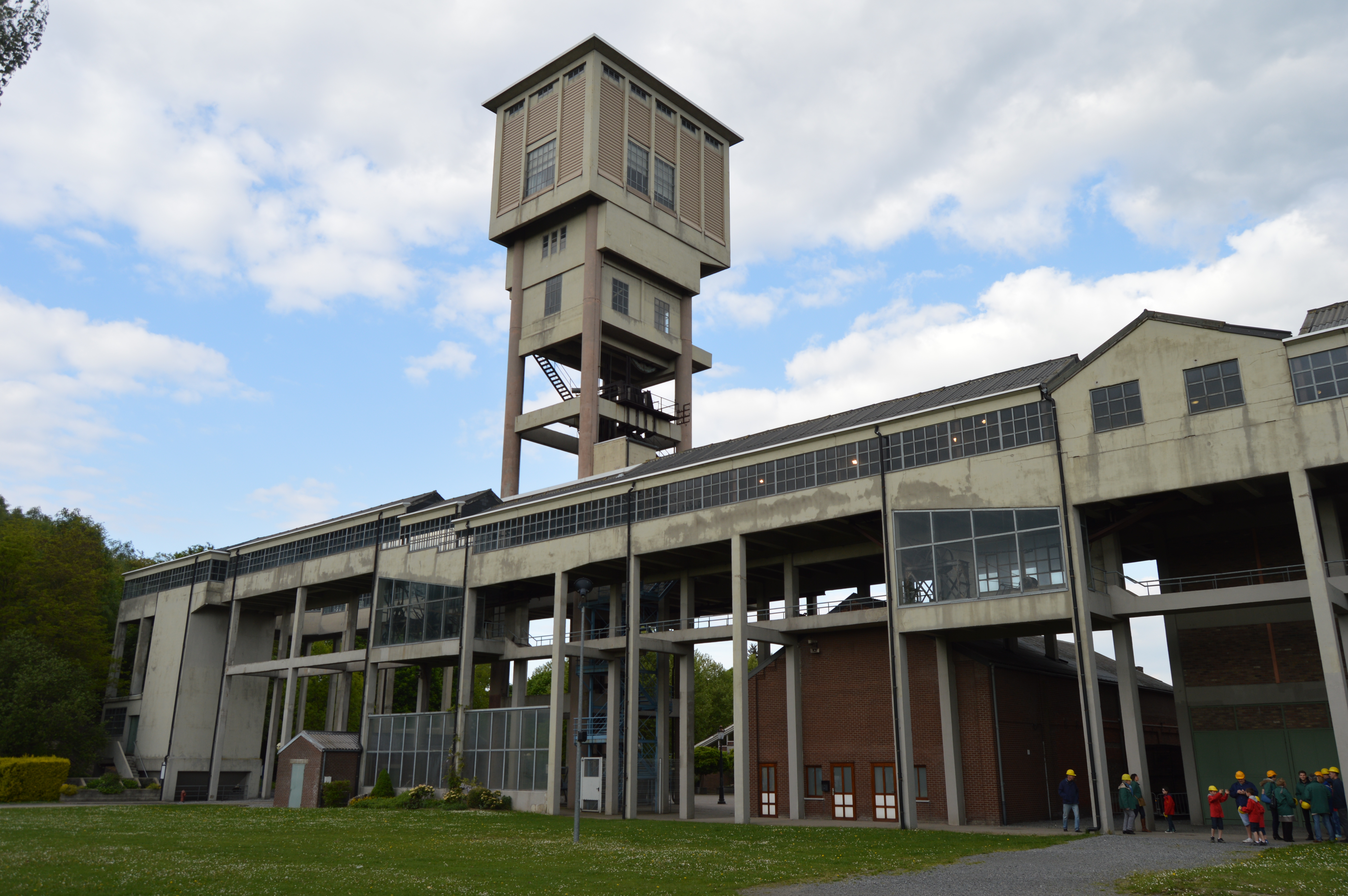
Français : Ancien Charbonnage d'Argenteau ("Blegny-Mine", UNESCO) à
fr:Blegny en Belgique
English: Ancient Argenteau coal mine ("Blegny-Mine", UNESCO) in Blegny, Belgium |
||
| Date | |||
| Source | Own work | ||
| Author | Utilisateur:Bel Adone | ||
| Permission ( Reusing this file) |
|
File history
Click on a date/time to view the file as it appeared at that time.
| Date/Time | Thumbnail | Dimensions | User | Comment | |
|---|---|---|---|---|---|
| current | 10:17, 14 May 2014 |
| 6,016 × 4,000 (7.48 MB) | Vberger~commonswiki | {{Location|50|41|12|N|05|43|26|E|alt:0_source:exif_heading:?}} {{Information |Description= {{fr|Ancien Charbonnage d'Argenteau ("Blegny-Mine", UNESCO) à fr:Blegny en Belgique}} {{en|Ancient Argenteau coal mine ("Blegny-Mine", UNESCO) in Blegny, B... |
File usage
The following pages on the English Wikipedia use this file (pages on other projects are not listed):
Global file usage
The following other wikis use this file:
- Usage on fr.wikipedia.org
- Usage on gl.wikipedia.org
- Usage on hu.wikipedia.org
- Usage on mt.wikipedia.org
- Usage on tr.wikipedia.org
- Usage on vi.wikipedia.org
Metadata
Size of this preview:
800 × 532 pixels. Other resolutions:
320 × 213 pixels |
640 × 426 pixels |
1,024 × 681 pixels |
1,280 × 851 pixels |
2,560 × 1,702 pixels |
6,016 × 4,000 pixels.
Original file (6,016 × 4,000 pixels, file size: 7.48 MB, MIME type: image/jpeg)
| This is a file from the
Wikimedia Commons. Information from its
description page there is shown below. Commons is a freely licensed media file repository. You can help. |
| Camera location |
| View this and other nearby images on: OpenStreetMap |
|
|---|
| Description |
Français : Ancien Charbonnage d'Argenteau ("Blegny-Mine", UNESCO) à
fr:Blegny en Belgique
English: Ancient Argenteau coal mine ("Blegny-Mine", UNESCO) in Blegny, Belgium |
||
| Date | |||
| Source | Own work | ||
| Author | Utilisateur:Bel Adone | ||
| Permission ( Reusing this file) |
|
File history
Click on a date/time to view the file as it appeared at that time.
| Date/Time | Thumbnail | Dimensions | User | Comment | |
|---|---|---|---|---|---|
| current | 10:17, 14 May 2014 |
| 6,016 × 4,000 (7.48 MB) | Vberger~commonswiki | {{Location|50|41|12|N|05|43|26|E|alt:0_source:exif_heading:?}} {{Information |Description= {{fr|Ancien Charbonnage d'Argenteau ("Blegny-Mine", UNESCO) à fr:Blegny en Belgique}} {{en|Ancient Argenteau coal mine ("Blegny-Mine", UNESCO) in Blegny, B... |
File usage
The following pages on the English Wikipedia use this file (pages on other projects are not listed):
Global file usage
The following other wikis use this file:
- Usage on fr.wikipedia.org
- Usage on gl.wikipedia.org
- Usage on hu.wikipedia.org
- Usage on mt.wikipedia.org
- Usage on tr.wikipedia.org
- Usage on vi.wikipedia.org