
Size of this preview:
800 × 521 pixels. Other resolutions:
320 × 208 pixels |
640 × 417 pixels |
1,024 × 667 pixels |
1,280 × 834 pixels |
2,389 × 1,556 pixels.
Original file (2,389 × 1,556 pixels, file size: 603 KB, MIME type: image/png)
| This is a file from the
Wikimedia Commons. Information from its
description page there is shown below. Commons is a freely licensed media file repository. You can help. |
Summary
| Description |
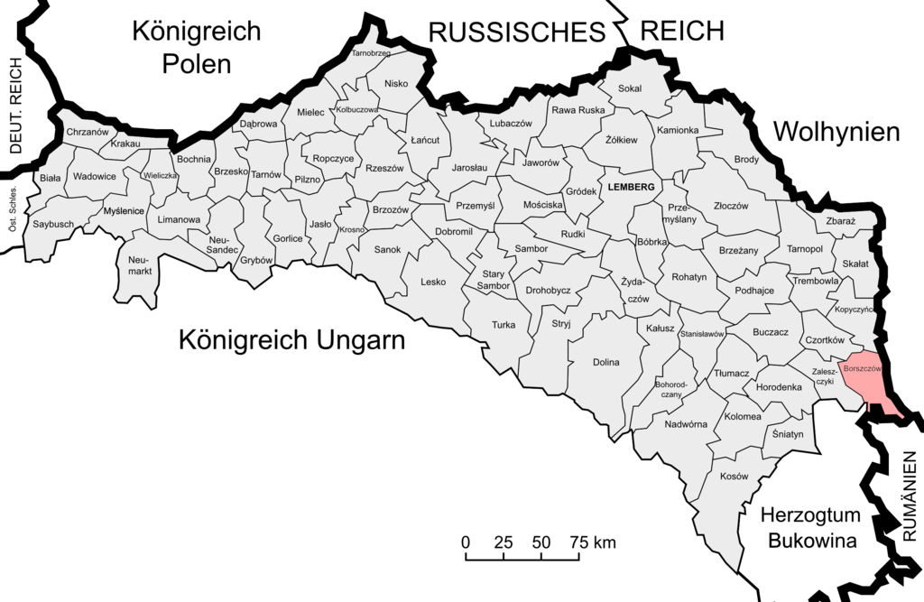
Deutsch: Lage des Bezirks Borszczów im Kronland Galizien und Lodomerien. |
| Date | |
| Source | Halič,_Židé_1910.svg |
| Author | Murli, original file Image:Halič,_Židé_1910.svg made by Daniel_Baránek, traslation by Furfur |
Licensing
I, the copyright holder of this work, hereby publish it under the following licenses:

|
Permission is granted to copy, distribute and/or modify this document under the terms of the GNU Free Documentation License, Version 1.2 or any later version published by the Free Software Foundation; with no Invariant Sections, no Front-Cover Texts, and no Back-Cover Texts. A copy of the license is included in the section entitled GNU Free Documentation License. |
This file is licensed under the
Creative Commons
Attribution-Share Alike 3.0 Unported license.
- You are free:
- to share – to copy, distribute and transmit the work
- to remix – to adapt the work
- Under the following conditions:
- attribution – You must give appropriate credit, provide a link to the license, and indicate if changes were made. You may do so in any reasonable manner, but not in any way that suggests the licensor endorses you or your use.
- share alike – If you remix, transform, or build upon the material, you must distribute your contributions under the same or compatible license as the original.
You may select the license of your choice.
File history
Click on a date/time to view the file as it appeared at that time.
| Date/Time | Thumbnail | Dimensions | User | Comment | |
|---|---|---|---|---|---|
| current | 06:56, 20 March 2018 |
| 2,389 × 1,556 (603 KB) | Murli | == {{int:filedesc}} == {{Information |Description={{de|1=Lage des Bezirks Borszczów im Kronland Galizien und Lodomerien.}} |Source= Halič,_Židé_1910.svg |Author= Murli, original file Image:Halič,_Židé_1910.svg made by Daniel_Baránek, traslation by Furfur |Date=2018-03-20 |Permission= |other_versions= }} == {{int:license-header}} == {{self|GFDL|cc-by-sa-3.0}} Category:Maps of the Kingdom of Galicia |
File usage
The following pages on the English Wikipedia use this file (pages on other projects are not listed):
Global file usage
The following other wikis use this file:
- Usage on de.wikipedia.org
- Usage on ru.wikipedia.org
- Usage on uk.wikipedia.org
Metadata
Size of this preview:
800 × 521 pixels. Other resolutions:
320 × 208 pixels |
640 × 417 pixels |
1,024 × 667 pixels |
1,280 × 834 pixels |
2,389 × 1,556 pixels.
Original file (2,389 × 1,556 pixels, file size: 603 KB, MIME type: image/png)
| This is a file from the
Wikimedia Commons. Information from its
description page there is shown below. Commons is a freely licensed media file repository. You can help. |
Summary
| Description |
Deutsch: Lage des Bezirks Borszczów im Kronland Galizien und Lodomerien. |
| Date | |
| Source | Halič,_Židé_1910.svg |
| Author | Murli, original file Image:Halič,_Židé_1910.svg made by Daniel_Baránek, traslation by Furfur |
Licensing
I, the copyright holder of this work, hereby publish it under the following licenses:
|
|
Permission is granted to copy, distribute and/or modify this document under the terms of the GNU Free Documentation License, Version 1.2 or any later version published by the Free Software Foundation; with no Invariant Sections, no Front-Cover Texts, and no Back-Cover Texts. A copy of the license is included in the section entitled GNU Free Documentation License. |
This file is licensed under the
Creative Commons
Attribution-Share Alike 3.0 Unported license.
- You are free:
- to share – to copy, distribute and transmit the work
- to remix – to adapt the work
- Under the following conditions:
- attribution – You must give appropriate credit, provide a link to the license, and indicate if changes were made. You may do so in any reasonable manner, but not in any way that suggests the licensor endorses you or your use.
- share alike – If you remix, transform, or build upon the material, you must distribute your contributions under the same or compatible license as the original.
You may select the license of your choice.
File history
Click on a date/time to view the file as it appeared at that time.
| Date/Time | Thumbnail | Dimensions | User | Comment | |
|---|---|---|---|---|---|
| current | 06:56, 20 March 2018 |
| 2,389 × 1,556 (603 KB) | Murli | == {{int:filedesc}} == {{Information |Description={{de|1=Lage des Bezirks Borszczów im Kronland Galizien und Lodomerien.}} |Source= Halič,_Židé_1910.svg |Author= Murli, original file Image:Halič,_Židé_1910.svg made by Daniel_Baránek, traslation by Furfur |Date=2018-03-20 |Permission= |other_versions= }} == {{int:license-header}} == {{self|GFDL|cc-by-sa-3.0}} Category:Maps of the Kingdom of Galicia |
File usage
The following pages on the English Wikipedia use this file (pages on other projects are not listed):
Global file usage
The following other wikis use this file:
- Usage on de.wikipedia.org
- Usage on ru.wikipedia.org
- Usage on uk.wikipedia.org