
Original file (SVG file, nominally 1,134 × 1,577 pixels, file size: 493 KB)
| This is a file from the
Wikimedia Commons. Information from its
description page there is shown below. Commons is a freely licensed media file repository. You can help. |
| Description |
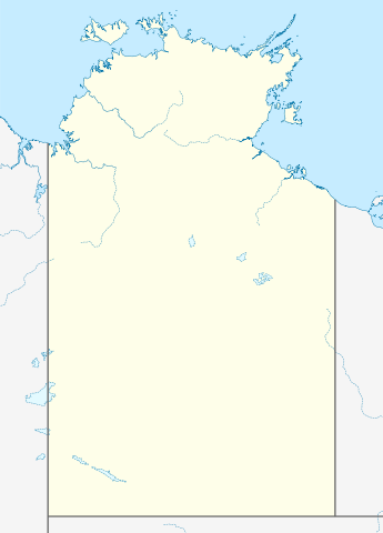
Quadratische Plattkarte, N-S-Streckung 105 %. Geographische Begrenzung der Karte:
Equirectangular projection, N/S stretching 105 %. Geographic limits of the map:
|
|
| Date | (UTC) | |
| Source |
|
|
| Author |
|
|
| Permission ( Reusing this file) |
This file is licensed under the
Creative Commons
Attribution-Share Alike 3.0 Germany license.
 |


|
This map has been made or improved in the German
Kartenwerkstatt (Map Lab). You can
propose maps to improve as well.
|
- You are free:
- to share – to copy, distribute and transmit the work
- to remix – to adapt the work
- Under the following conditions:
- attribution – You must give appropriate credit, provide a link to the license, and indicate if changes were made. You may do so in any reasonable manner, but not in any way that suggests the licensor endorses you or your use.
- share alike – If you remix, transform, or build upon the material, you must distribute your contributions under the same or compatible license as the original.
Original upload log
This image is a derivative work of the following images:
- 2009-12-18T16:37:07Z NordNordWest 1134x1577 (546267 Bytes) =={{int:filedesc}}== {{Information |Description= {{de|Positionskarte des [[:de:Northern Territory|Northern Territory]], [[:de:Australien|Australien]]}} Quadratische Plattkarte, N-S-Streckung 105 %. Geographische Begrenzung de
Uploaded with derivativeFX
File history
Click on a date/time to view the file as it appeared at that time.
| Date/Time | Thumbnail | Dimensions | User | Comment | |
|---|---|---|---|---|---|
| current | 01:38, 10 April 2010 |
| 1,134 × 1,577 (493 KB) | Roke~commonswiki | {{Information |Description={{de|Positionskarte des Northern Territory, Australien}} Quadratische Plattkarte, N-S-Streckung 105 %. Geographische Begrenzung der Karte: * N: 10.6° S * S: 26.5° S * W: 127.5° O |
File usage
Global file usage
The following other wikis use this file:
- Usage on azb.wikipedia.org
- Usage on ceb.wikipedia.org
- Usage on da.wikipedia.org
- Usage on de.wikipedia.org
- Usage on es.wikipedia.org
- Usage on fa.wikipedia.org
- الگو:Location map Australia Northern Territory
- آلیس اسپرینگز
- پالمرستون (استرالیا)
- آریونگا
- آپوتولا
- آنگوروگو
- آلیانگولو
- آلپورورولام
- آدلاید ریور
- بولمان، استرالیا
- بچلور
- بورولولا
- بارونگا
- برو کریک
- گونبالانایا
- گروو هیل
- اوا ولی
- الیوت (استرالیا)
- دوندی
- دالی ریور
- دالی واترز
- هرمانزبورگ
- هامپتی دو
- هاستس بلاف
- هارتس رنج
- یارالین
- یوندومو
- یولارا
- ییرکالا
- نگوکور
- نهولونبوی
- نامبولوار
- پاپونیا
- وورومیانگا
- واگایت بیچ
- وادی (استرالیا)
- تاپ اسپرینگز
- تیتجیکالا
- تیمبر کریک
- تی تری
- تننت کریک
- استپلتون
- روپر بار
- رنر اسپرینگز
- ربیت فلت
View more global usage of this file.
Original file (SVG file, nominally 1,134 × 1,577 pixels, file size: 493 KB)
| This is a file from the
Wikimedia Commons. Information from its
description page there is shown below. Commons is a freely licensed media file repository. You can help. |
| Description |
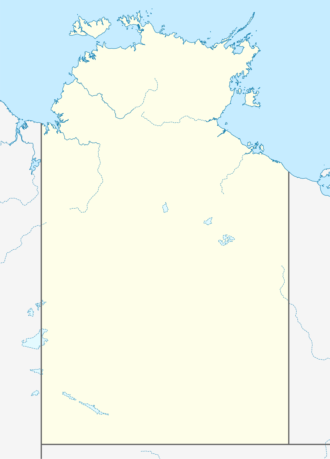
Quadratische Plattkarte, N-S-Streckung 105 %. Geographische Begrenzung der Karte:
Equirectangular projection, N/S stretching 105 %. Geographic limits of the map:
|
|
| Date | (UTC) | |
| Source |
|
|
| Author |
|
|
| Permission ( Reusing this file) |
This file is licensed under the
Creative Commons
Attribution-Share Alike 3.0 Germany license.
|
|
|
This map has been made or improved in the German
Kartenwerkstatt (Map Lab). You can
propose maps to improve as well.
|
- You are free:
- to share – to copy, distribute and transmit the work
- to remix – to adapt the work
- Under the following conditions:
- attribution – You must give appropriate credit, provide a link to the license, and indicate if changes were made. You may do so in any reasonable manner, but not in any way that suggests the licensor endorses you or your use.
- share alike – If you remix, transform, or build upon the material, you must distribute your contributions under the same or compatible license as the original.
Original upload log
This image is a derivative work of the following images:
- 2009-12-18T16:37:07Z NordNordWest 1134x1577 (546267 Bytes) =={{int:filedesc}}== {{Information |Description= {{de|Positionskarte des [[:de:Northern Territory|Northern Territory]], [[:de:Australien|Australien]]}} Quadratische Plattkarte, N-S-Streckung 105 %. Geographische Begrenzung de
Uploaded with derivativeFX
File history
Click on a date/time to view the file as it appeared at that time.
| Date/Time | Thumbnail | Dimensions | User | Comment | |
|---|---|---|---|---|---|
| current | 01:38, 10 April 2010 |
| 1,134 × 1,577 (493 KB) | Roke~commonswiki | {{Information |Description={{de|Positionskarte des Northern Territory, Australien}} Quadratische Plattkarte, N-S-Streckung 105 %. Geographische Begrenzung der Karte: * N: 10.6° S * S: 26.5° S * W: 127.5° O |
File usage
Global file usage
The following other wikis use this file:
- Usage on azb.wikipedia.org
- Usage on ceb.wikipedia.org
- Usage on da.wikipedia.org
- Usage on de.wikipedia.org
- Usage on es.wikipedia.org
- Usage on fa.wikipedia.org
- الگو:Location map Australia Northern Territory
- آلیس اسپرینگز
- پالمرستون (استرالیا)
- آریونگا
- آپوتولا
- آنگوروگو
- آلیانگولو
- آلپورورولام
- آدلاید ریور
- بولمان، استرالیا
- بچلور
- بورولولا
- بارونگا
- برو کریک
- گونبالانایا
- گروو هیل
- اوا ولی
- الیوت (استرالیا)
- دوندی
- دالی ریور
- دالی واترز
- هرمانزبورگ
- هامپتی دو
- هاستس بلاف
- هارتس رنج
- یارالین
- یوندومو
- یولارا
- ییرکالا
- نگوکور
- نهولونبوی
- نامبولوار
- پاپونیا
- وورومیانگا
- واگایت بیچ
- وادی (استرالیا)
- تاپ اسپرینگز
- تیتجیکالا
- تیمبر کریک
- تی تری
- تننت کریک
- استپلتون
- روپر بار
- رنر اسپرینگز
- ربیت فلت
View more global usage of this file.