Photos • Location


Size of this preview:
800 × 470 pixels. Other resolutions:
320 × 188 pixels |
640 × 376 pixels |
1,024 × 602 pixels |
1,280 × 753 pixels |
2,816 × 1,656 pixels.
Original file (2,816 × 1,656 pixels, file size: 3.34 MB, MIME type: image/jpeg)
| This is a file from the
Wikimedia Commons. Information from its
description page there is shown below. Commons is a freely licensed media file repository. You can help. |
|
This is an image of a place or building that is listed on the
National Register of Historic Places in the
United States of America. Its reference number is
66000038. |
Summary
| Description |
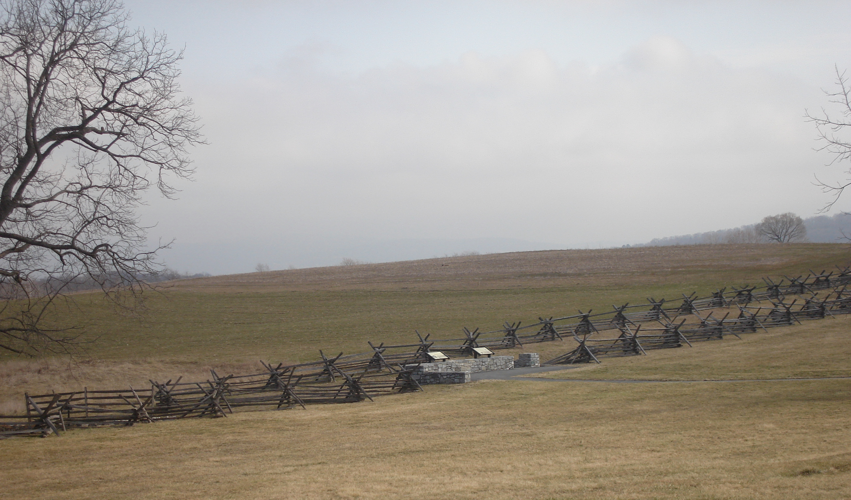
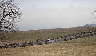
English: Image of the Sunken Road – "Bloody Lane".
|
| Date | |
| Source | Own work |
| Author | Sswonk |
| Object location |
| View this and other nearby images on: OpenStreetMap |
|
|---|
Licensing
| I, the copyright holder of this work, release this work into the
public domain. This applies worldwide. In some countries this may not be legally possible; if so: I grant anyone the right to use this work for any purpose, without any conditions, unless such conditions are required by law. |
File history
Click on a date/time to view the file as it appeared at that time.
| Date/Time | Thumbnail | Dimensions | User | Comment | |
|---|---|---|---|---|---|
| current | 01:22, 9 October 2008 |
| 2,816 × 1,656 (3.34 MB) | Sswonk | {{Information |Description={{en|1=Image of the Sunken Road – "Bloody Lane" – Antietam National Battlefield, Sharpsburg, Maryland, USA.}} |Source=Own work by uploader |Author= Sswonk |Date=2008-02-09 |Permission= |other_versions= }} <!- |
File usage
The following pages on the English Wikipedia use this file (pages on other projects are not listed):
Global file usage
The following other wikis use this file:
- Usage on de.wikipedia.org
- Usage on en.wikivoyage.org
- Usage on es.wikipedia.org
- Usage on ru.wikipedia.org
- Usage on sv.wikipedia.org
Metadata
Size of this preview:
800 × 470 pixels. Other resolutions:
320 × 188 pixels |
640 × 376 pixels |
1,024 × 602 pixels |
1,280 × 753 pixels |
2,816 × 1,656 pixels.
Original file (2,816 × 1,656 pixels, file size: 3.34 MB, MIME type: image/jpeg)
| This is a file from the
Wikimedia Commons. Information from its
description page there is shown below. Commons is a freely licensed media file repository. You can help. |
|
This is an image of a place or building that is listed on the
National Register of Historic Places in the
United States of America. Its reference number is
66000038. |
Summary
| Description |
English: Image of the Sunken Road – "Bloody Lane".
|
| Date | |
| Source | Own work |
| Author | Sswonk |
| Object location |
| View this and other nearby images on: OpenStreetMap |
|
|---|
Licensing
| I, the copyright holder of this work, release this work into the
public domain. This applies worldwide. In some countries this may not be legally possible; if so: I grant anyone the right to use this work for any purpose, without any conditions, unless such conditions are required by law. |
File history
Click on a date/time to view the file as it appeared at that time.
| Date/Time | Thumbnail | Dimensions | User | Comment | |
|---|---|---|---|---|---|
| current | 01:22, 9 October 2008 |
| 2,816 × 1,656 (3.34 MB) | Sswonk | {{Information |Description={{en|1=Image of the Sunken Road – "Bloody Lane" – Antietam National Battlefield, Sharpsburg, Maryland, USA.}} |Source=Own work by uploader |Author= Sswonk |Date=2008-02-09 |Permission= |other_versions= }} <!- |
File usage
The following pages on the English Wikipedia use this file (pages on other projects are not listed):
Global file usage
The following other wikis use this file:
- Usage on de.wikipedia.org
- Usage on en.wikivoyage.org
- Usage on es.wikipedia.org
- Usage on ru.wikipedia.org
- Usage on sv.wikipedia.org