Photos • Location


Size of this preview:
800 × 494 pixels. Other resolutions:
320 × 198 pixels |
640 × 395 pixels |
1,024 × 632 pixels |
1,591 × 982 pixels.
Original file (1,591 × 982 pixels, file size: 506 KB, MIME type: image/jpeg)
| This is a file from the
Wikimedia Commons. Information from its
description page there is shown below. Commons is a freely licensed media file repository. You can help. |
Summary
| Description |
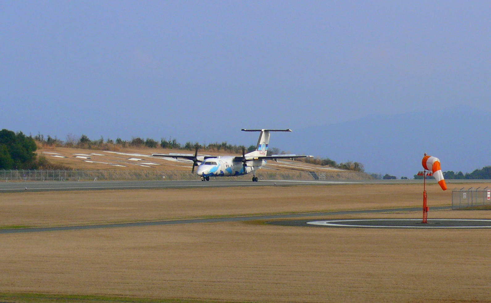
English: DHC-8 of Amakusa-Airline that arrived at Amakusa Airport.(Japan,).
|
| Date | |
| Source | Own work |
| Author | まも |
| Camera location |
| View this and other nearby images on: OpenStreetMap |
|
|---|
Licensing
| I, the copyright holder of this work, release this work into the
public domain. This applies worldwide. In some countries this may not be legally possible; if so: I grant anyone the right to use this work for any purpose, without any conditions, unless such conditions are required by law. |
File history
Click on a date/time to view the file as it appeared at that time.
| Date/Time | Thumbnail | Dimensions | User | Comment | |
|---|---|---|---|---|---|
| current | 10:32, 24 May 2010 |
| 1,591 × 982 (506 KB) | まも | == {{int:filedesc}} == {{Information |Description= {{en|DHC-8 of Kyokushin Air that arrived at Amakusa Airport.(Japan,).}} {{ja| 天草空港に着陸した 天草エアラインの [[:ja:デ・ハビラン |
File usage
The following pages on the English Wikipedia use this file (pages on other projects are not listed):
Global file usage
The following other wikis use this file:
- Usage on cs.wikipedia.org
- Usage on ja.wikipedia.org
- Usage on pt.wikipedia.org
- Usage on uk.wikipedia.org
- Usage on vi.wikipedia.org
Metadata
Size of this preview:
800 × 494 pixels. Other resolutions:
320 × 198 pixels |
640 × 395 pixels |
1,024 × 632 pixels |
1,591 × 982 pixels.
Original file (1,591 × 982 pixels, file size: 506 KB, MIME type: image/jpeg)
| This is a file from the
Wikimedia Commons. Information from its
description page there is shown below. Commons is a freely licensed media file repository. You can help. |
Summary
| Description |
English: DHC-8 of Amakusa-Airline that arrived at Amakusa Airport.(Japan,).
|
| Date | |
| Source | Own work |
| Author | まも |
| Camera location |
| View this and other nearby images on: OpenStreetMap |
|
|---|
Licensing
| I, the copyright holder of this work, release this work into the
public domain. This applies worldwide. In some countries this may not be legally possible; if so: I grant anyone the right to use this work for any purpose, without any conditions, unless such conditions are required by law. |
File history
Click on a date/time to view the file as it appeared at that time.
| Date/Time | Thumbnail | Dimensions | User | Comment | |
|---|---|---|---|---|---|
| current | 10:32, 24 May 2010 |
| 1,591 × 982 (506 KB) | まも | == {{int:filedesc}} == {{Information |Description= {{en|DHC-8 of Kyokushin Air that arrived at Amakusa Airport.(Japan,).}} {{ja| 天草空港に着陸した 天草エアラインの [[:ja:デ・ハビラン |
File usage
The following pages on the English Wikipedia use this file (pages on other projects are not listed):
Global file usage
The following other wikis use this file:
- Usage on cs.wikipedia.org
- Usage on ja.wikipedia.org
- Usage on pt.wikipedia.org
- Usage on uk.wikipedia.org
- Usage on vi.wikipedia.org