Photos • Location


Size of this preview:
800 × 600 pixels. Other resolutions:
320 × 240 pixels |
640 × 480 pixels |
1,024 × 768 pixels |
1,280 × 960 pixels |
2,200 × 1,650 pixels.
Original file (2,200 × 1,650 pixels, file size: 2.12 MB, MIME type: image/jpeg)
| This is a file from the
Wikimedia Commons. Information from its
description page there is shown below. Commons is a freely licensed media file repository. You can help. |
| Camera location | | View this and other nearby images on: OpenStreetMap |
|
|---|
| Description |
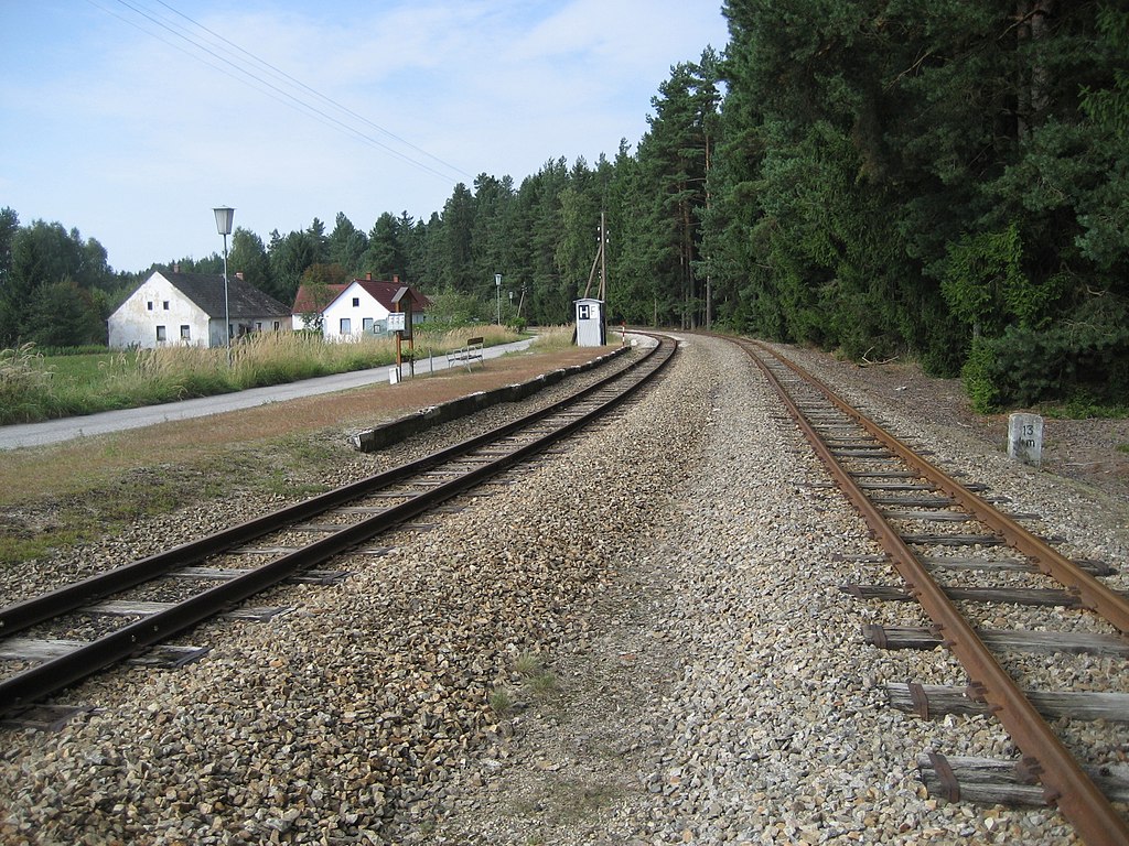
Deutsch: die Haltestelle Alt Nagelberg Fa. Ergo der Bahnstrecke Alt Nagelberg – Heidenreichstein in Niederösterreich
English: Alt Nagelberg Fa. Ergo train station in Lower Austria |
||
| Date | Taken on 31 August 2013 | ||
| Source | photo taken by de:Benutzer:Priwo | ||
| Author | Priwo | ||
| Permission ( Reusing this file) |
|
File history
Click on a date/time to view the file as it appeared at that time.
| Date/Time | Thumbnail | Dimensions | User | Comment | |
|---|---|---|---|---|---|
| current | 13:19, 7 September 2013 |
| 2,200 × 1,650 (2.12 MB) | Priwo | {{Information| |Description = {{de|die Haltestelle Alt Nagelberg Fa. Ergo der Bahnstrecke Alt Nagelberg – Heidenreichstein in Niederösterreich}} {{en|Alt Nagelberg Fa. Ergo train station in Lower Austria}} |Source = photo taken by [[:de:Benutzer:Pr... |
File usage
The following pages on the English Wikipedia use this file (pages on other projects are not listed):
Global file usage
The following other wikis use this file:
- Usage on de.wikipedia.org
- Usage on www.wikidata.org
Metadata
Size of this preview:
800 × 600 pixels. Other resolutions:
320 × 240 pixels |
640 × 480 pixels |
1,024 × 768 pixels |
1,280 × 960 pixels |
2,200 × 1,650 pixels.
Original file (2,200 × 1,650 pixels, file size: 2.12 MB, MIME type: image/jpeg)
| This is a file from the
Wikimedia Commons. Information from its
description page there is shown below. Commons is a freely licensed media file repository. You can help. |
| Camera location | | View this and other nearby images on: OpenStreetMap |
|
|---|
| Description |
Deutsch: die Haltestelle Alt Nagelberg Fa. Ergo der Bahnstrecke Alt Nagelberg – Heidenreichstein in Niederösterreich
English: Alt Nagelberg Fa. Ergo train station in Lower Austria |
||
| Date | Taken on 31 August 2013 | ||
| Source | photo taken by de:Benutzer:Priwo | ||
| Author | Priwo | ||
| Permission ( Reusing this file) |
|
File history
Click on a date/time to view the file as it appeared at that time.
| Date/Time | Thumbnail | Dimensions | User | Comment | |
|---|---|---|---|---|---|
| current | 13:19, 7 September 2013 |
| 2,200 × 1,650 (2.12 MB) | Priwo | {{Information| |Description = {{de|die Haltestelle Alt Nagelberg Fa. Ergo der Bahnstrecke Alt Nagelberg – Heidenreichstein in Niederösterreich}} {{en|Alt Nagelberg Fa. Ergo train station in Lower Austria}} |Source = photo taken by [[:de:Benutzer:Pr... |
File usage
The following pages on the English Wikipedia use this file (pages on other projects are not listed):
Global file usage
The following other wikis use this file:
- Usage on de.wikipedia.org
- Usage on www.wikidata.org