to share – to copy, distribute and transmit the work
to remix – to adapt the work
Under the following conditions:
attribution – You must give appropriate credit, provide a link to the license, and indicate if changes were made. You may do so in any reasonable manner, but not in any way that suggests the licensor endorses you or your use.
share alike – If you remix, transform, or build upon the material, you must distribute your contributions under the
same or compatible license as the original.
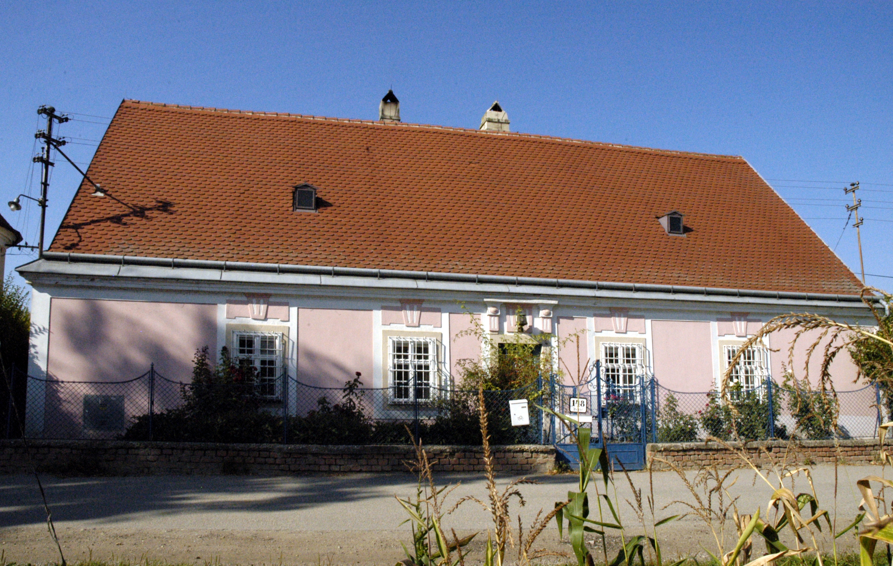
{{Object location dec|48.7030833|16.0999167|AT-3}} {{Information |Description={{de|Pfarrhof in Alberndorf im Pulkautal}} <!--{{en|Hier englische Beschreibung einfügen}}--> {{Denkmalgeschütztes Objekt Österreich|1=11692}} |Source={{own}}<!--Bitte nur ei
File usage
The following pages on the English Wikipedia use this file (pages on other projects are not listed):
to share – to copy, distribute and transmit the work
to remix – to adapt the work
Under the following conditions:
attribution – You must give appropriate credit, provide a link to the license, and indicate if changes were made. You may do so in any reasonable manner, but not in any way that suggests the licensor endorses you or your use.
share alike – If you remix, transform, or build upon the material, you must distribute your contributions under the
same or compatible license as the original.
{{Object location dec|48.7030833|16.0999167|AT-3}} {{Information |Description={{de|Pfarrhof in Alberndorf im Pulkautal}} <!--{{en|Hier englische Beschreibung einfügen}}--> {{Denkmalgeschütztes Objekt Österreich|1=11692}} |Source={{own}}<!--Bitte nur ei
File usage
The following pages on the English Wikipedia use this file (pages on other projects are not listed):


