Photos • Location


Size of this preview:
450 × 600 pixels. Other resolutions:
180 × 240 pixels |
360 × 480 pixels |
576 × 768 pixels |
768 × 1,024 pixels |
2,304 × 3,072 pixels.
Original file (2,304 × 3,072 pixels, file size: 909 KB, MIME type: image/jpeg)
| This is a file from the
Wikimedia Commons. Information from its
description page there is shown below. Commons is a freely licensed media file repository. You can help. |
Summary
| Description |
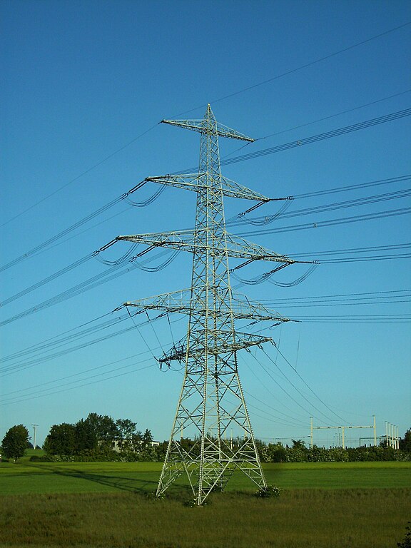
Deutsch: Abzweigmast der 380-kV-Leitungen Etzenricht–Hradec und Etzenricht–Přeštice, Abzweig zum 110/20-kV-Umspannwerk Vohenstrauß (hinten rechts), Altenstadt bei Vohenstrauß |
| Date | |
| Source | Own work |
| Author | Zonk43 |
| Camera location |
| View this and other nearby images on: OpenStreetMap |
|
|---|
Licensing
| I, the copyright holder of this work, release this work into the
public domain. This applies worldwide. In some countries this may not be legally possible; if so: I grant anyone the right to use this work for any purpose, without any conditions, unless such conditions are required by law. |
File history
Click on a date/time to view the file as it appeared at that time.
| Date/Time | Thumbnail | Dimensions | User | Comment | |
|---|---|---|---|---|---|
| current | 11:21, 18 June 2009 |
| 2,304 × 3,072 (909 KB) | Zonk43 | {{Information |Description={{de|1=Abzweigmast Vohenstrauss}} |Source=Own work by uploader |Author= Zonk43 |Date=June 17th, 2009 |Permission= |other_versions= }} <!--{{ImageUpload|full}}--> |
File usage
The following pages on the English Wikipedia use this file (pages on other projects are not listed):
Global file usage
The following other wikis use this file:
- Usage on de.wikipedia.org
Metadata
Size of this preview:
450 × 600 pixels. Other resolutions:
180 × 240 pixels |
360 × 480 pixels |
576 × 768 pixels |
768 × 1,024 pixels |
2,304 × 3,072 pixels.
Original file (2,304 × 3,072 pixels, file size: 909 KB, MIME type: image/jpeg)
| This is a file from the
Wikimedia Commons. Information from its
description page there is shown below. Commons is a freely licensed media file repository. You can help. |
Summary
| Description |
Deutsch: Abzweigmast der 380-kV-Leitungen Etzenricht–Hradec und Etzenricht–Přeštice, Abzweig zum 110/20-kV-Umspannwerk Vohenstrauß (hinten rechts), Altenstadt bei Vohenstrauß |
| Date | |
| Source | Own work |
| Author | Zonk43 |
| Camera location |
| View this and other nearby images on: OpenStreetMap |
|
|---|
Licensing
| I, the copyright holder of this work, release this work into the
public domain. This applies worldwide. In some countries this may not be legally possible; if so: I grant anyone the right to use this work for any purpose, without any conditions, unless such conditions are required by law. |
File history
Click on a date/time to view the file as it appeared at that time.
| Date/Time | Thumbnail | Dimensions | User | Comment | |
|---|---|---|---|---|---|
| current | 11:21, 18 June 2009 |
| 2,304 × 3,072 (909 KB) | Zonk43 | {{Information |Description={{de|1=Abzweigmast Vohenstrauss}} |Source=Own work by uploader |Author= Zonk43 |Date=June 17th, 2009 |Permission= |other_versions= }} <!--{{ImageUpload|full}}--> |
File usage
The following pages on the English Wikipedia use this file (pages on other projects are not listed):
Global file usage
The following other wikis use this file:
- Usage on de.wikipedia.org