Photos • Location
Farmer City, Kansas | |
|---|---|
 | |
| Coordinates: 38°17′8″N 101°11′35″W / 38.28556°N 101.19306°W | |
| Country | United States |
| State | Kansas |
| County | Wichita |
| Population | |
| • Total | 0 |
| Time zone | UTC-6 ( CST) |
| • Summer ( DST) | UTC-5 (CDT) |
| Area code | 620 |
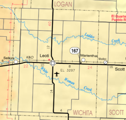
Farmer City is a ghost town in Wichita County, Kansas, United States.
History
It was hoped that it would become the county seat — a compromise between the fighting towns of Leoti and Coronado. Soon after Leoti won the fight, Farmer City and most of Coronado vanished.
References
Further reading
External links
Farmer City, Kansas | |
|---|---|
 | |
| Coordinates: 38°17′8″N 101°11′35″W / 38.28556°N 101.19306°W | |
| Country | United States |
| State | Kansas |
| County | Wichita |
| Population | |
| • Total | 0 |
| Time zone | UTC-6 ( CST) |
| • Summer ( DST) | UTC-5 (CDT) |
| Area code | 620 |
Farmer City is a ghost town in Wichita County, Kansas, United States.
History
It was hoped that it would become the county seat — a compromise between the fighting towns of Leoti and Coronado. Soon after Leoti won the fight, Farmer City and most of Coronado vanished.
References
Further reading
External links


