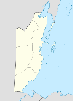
Photos • Location
Esperanza | |
|---|---|
| Coordinates: 17°10′43″N 89°02′27″W / 17.1785°N 89.0409°W | |
| Country | |
| District | Cayo District |
| Constituency | Cayo North East |
| Population (2010) | |
| • Total | 1,262 [1] |
| Time zone | UTC-6 ( Central) |
Esperanza is a village located along the George Price Highway in Cayo District, Belize. It lies approximately four kilometers northeast of San Ignacio. According to the 2010 census, Esperanza has a population of 1,262 people in 286 households. [1]
References
- ^ a b "Population Data – Census 2010". Statistical Institute of Belize. Archived from the original on 4 March 2014. Retrieved 27 February 2014.
