Photos • Location
Donja Lastva
Donja Lastva | |
|---|---|
 | |
| Coordinates: 42°26′35″N 18°41′19″E / 42.44306°N 18.68861°E | |
| Country | |
| Municipality |
|
| Elevation | 0 m (0 ft) |
| Population (2011) | |
| • Total | 751 |
| Time zone | UTC+1 ( CET) |
| • Summer ( DST) | UTC+2 ( CEST) |
| Area code | +382 32 |
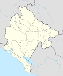
Donja Lastva ( Montenegrin and Serbian: Donja Lastva) is a coastal settlement in the municipality of Tivat, Montenegro. It is also located north of Tivat in the Bay of Kotor.
Demographics
According to the 2011 census, it had a population of 751 people. [1]
| Ethnicity | Number | Percentage |
|---|---|---|
| Croats | 315 | 41.9% |
| Montenegrins | 232 | 30.9% |
| Serbs | 122 | 16.3% |
| other/undeclared | 82 | 10.9% |
| Total | 751 | 100% |
References
Donja Lastva
Donja Lastva | |
|---|---|
 | |
| Coordinates: 42°26′35″N 18°41′19″E / 42.44306°N 18.68861°E | |
| Country | |
| Municipality |
|
| Elevation | 0 m (0 ft) |
| Population (2011) | |
| • Total | 751 |
| Time zone | UTC+1 ( CET) |
| • Summer ( DST) | UTC+2 ( CEST) |
| Area code | +382 32 |
Donja Lastva ( Montenegrin and Serbian: Donja Lastva) is a coastal settlement in the municipality of Tivat, Montenegro. It is also located north of Tivat in the Bay of Kotor.
Demographics
According to the 2011 census, it had a population of 751 people. [1]
| Ethnicity | Number | Percentage |
|---|---|---|
| Croats | 315 | 41.9% |
| Montenegrins | 232 | 30.9% |
| Serbs | 122 | 16.3% |
| other/undeclared | 82 | 10.9% |
| Total | 751 | 100% |
