Photos • Location
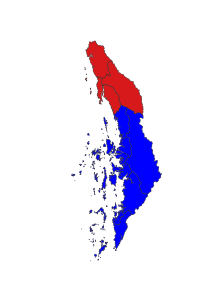
location in Tanintharyi region

This article needs additional citations for
verification. (January 2021) |
Dawei District ( Burmese: ထားဝယ်ခရိုင်) is a district of the Taninthayi Division of Myanmar. The district covers an area of 13,792 km2, and had a population of 493,576 at the 2014 Census. [1]

Administrative divisions
Townships
The district contains the following townships:
Subtownships
References
- ^ CityPopulation.de. "Dawei". Archived from the original on 19 January 2020. Retrieved 28 August 2020.
Capital:
Dawei | ||
| Dawei District | .svg)  | |
| Myeik District | ||
| Bokepyin District | ||
| Kawthaung District | ||
| Main cities and towns | ||
14°05′N 98°28′E / 14.083°N 98.467°E
|
| This Myanmar location article is a stub. You can help Wikipedia by expanding it. |
This article needs additional citations for
verification. (January 2021) |
Dawei District ( Burmese: ထားဝယ်ခရိုင်) is a district of the Taninthayi Division of Myanmar. The district covers an area of 13,792 km2, and had a population of 493,576 at the 2014 Census. [1]
Administrative divisions
Townships
The district contains the following townships:
Subtownships
References
- ^ CityPopulation.de. "Dawei". Archived from the original on 19 January 2020. Retrieved 28 August 2020.
Capital:
Dawei | ||
| Dawei District | | |
| Myeik District | ||
| Bokepyin District | ||
| Kawthaung District | ||
| Main cities and towns | ||
14°05′N 98°28′E / 14.083°N 98.467°E
|
| This Myanmar location article is a stub. You can help Wikipedia by expanding it. |