Photos • Location
This article includes a list of general
references, but it lacks sufficient corresponding
inline citations. (May 2021) |
Chara Airport | |||||||||||
|---|---|---|---|---|---|---|---|---|---|---|---|
| Summary | |||||||||||
| Airport type | Public | ||||||||||
| Location | Chara | ||||||||||
| Elevation AMSL | 2,201 ft / 671 m | ||||||||||
| Coordinates | 56°54′48″N 118°16′12″E / 56.91333°N 118.27000°E | ||||||||||
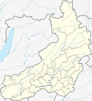
| Map | |||||||||||
| Runways | |||||||||||
| |||||||||||
Chara Airport (also Chara Kyust-Kemda Airport) ( IATA: CZR, ICAO: UIAR) is an airport in Russia located 2 km northeast of the rural locality of Chara. It has a wide paved runway and parking apron. It is a civilian airport.
Airlines and destinations
| Airlines | Destinations |
|---|---|
| Angara Airlines | Chita |
References

