Photos • Location
Eastern Dacian Limes

| Castra of Sânpaul (Harghita County) | |
|---|---|
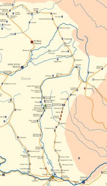
 Location within Romania | |
| Founded | 2nd century AD |
| Place in the Roman world | |
| Province | Dacia |
| Administrative unit | Dacia Apulensis |
| Administrative unit | Dacia Superior |
| Structure | |
| — Stone structure — | |
| Stationed military units | |
| — Numeri — | |
| Maurorum S ... [1] | |
| Location | |
| Coordinates | 46°11′46.98″N 25°22′54.22″E / 46.1963833°N 25.3817278°E |
| Town | Sânpaul |
| County | Harghita |
| Country | |
| Reference | |
| RO-LMI | HR-I-s-B-12710 |
| RO-RAN | 85047.01 |
| Site notes | |
| Recognition |
|
| Condition | Ruined |
It was a fort in the Roman province of Dacia.
- Roman castra from Romania - Google Maps / Earth Archived 2012-12-05 at archive.today

|
| This Dacia-related article is a stub. You can help Wikipedia by expanding it. |
| Castra of Sânpaul (Harghita County) | |
|---|---|
Location within Romania | |
| Founded | 2nd century AD |
| Place in the Roman world | |
| Province | Dacia |
| Administrative unit | Dacia Apulensis |
| Administrative unit | Dacia Superior |
| Structure | |
| — Stone structure — | |
| Stationed military units | |
| — Numeri — | |
| Maurorum S ... [1] | |
| Location | |
| Coordinates | 46°11′46.98″N 25°22′54.22″E / 46.1963833°N 25.3817278°E |
| Town | Sânpaul |
| County | Harghita |
| Country | |
| Reference | |
| RO-LMI | HR-I-s-B-12710 |
| RO-RAN | 85047.01 |
| Site notes | |
| Recognition |
|
| Condition | Ruined |
It was a fort in the Roman province of Dacia.
- Roman castra from Romania - Google Maps / Earth Archived 2012-12-05 at archive.today
|
| This Dacia-related article is a stub. You can help Wikipedia by expanding it. |