Photos • Location
| Brånevatnet | |
|---|---|
| Location | Nordaustlandet, Svalbard |
| Coordinates | 79°47′17″N 22°00′14″E / 79.788°N 22.004°E |
| Type | natural freshwater lake |
| Basin countries | Norway |
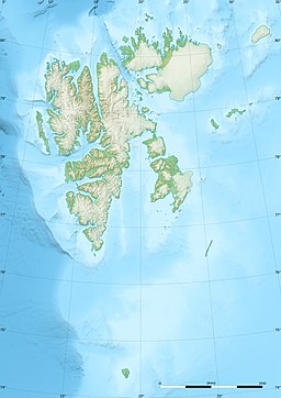
Brånevatnet ("Melting lake") is a lake at Nordaustlandet, Svalbard. It is located between Winsnesbreen and Oxfordhalvøya, to the north of Etonbreen. [1] The river of Oxfordelva flows from Brånevatnet through Oxfordhalvøya and debouches into Bodleybukta. [2]
References
- ^ "Brånevatnet (Svalbard)". Norwegian Polar Institute. Archived from the original on 16 September 2016. Retrieved 14 July 2016.
- ^ "Oxfordelva (Svalbard)". Norwegian Polar Institute. Archived from the original on 16 September 2016. Retrieved 14 July 2016.
