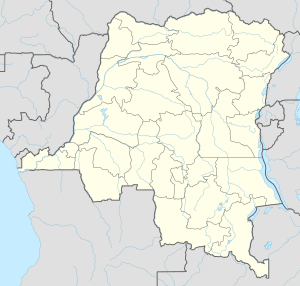
Photos • Location
(Redirected from
Bongandanga Sector)
Bongandanga | |
|---|---|
| Coordinates: 1°30′36″N 21°3′0″E / 1.51000°N 21.05000°E | |
| Country | |
| Province | Mongala |
| Population (2009) | |
| • Total | 4,625 |
| Time zone | UTC+1 (Kinshasa Time) |
| National language | Lingala |
| Climate | Af |
Bongandanga is a small town in Mongala Province in the northwestern part of the Democratic Republic of the Congo. In 2009, it had an estimated population of 4625. [1] It is the administrative center of the Bongandanga Territory. [2]
- ^ "Congo (Dem. Rep.): largest cities and towns and statistics of their population". World Gazetteer. Retrieved January 21, 2009.[ dead link]
- ^ X. Blaes (October 2008). "Découpage administratif de la République Démocratique du Congo" (PDF). PNUD-SIG. Archived from the original (PDF) on 2010-04-01. Retrieved 2011-11-02.
