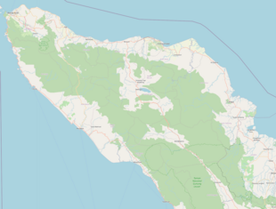
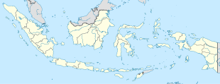
Photos • Location
Bener | |
|---|---|
| Coordinates: 3°45′41.06″N 97°13′14.63″E / 3.7614056°N 97.2207306°E | |
| Country | |
| Province | Aceh |
| Regency | Gayo Lues Regency |
| District | Kuta Panjang District |
| Elevation | 9,731 ft (2,966 m) |
| Population (2010) | |
| • Total | 577 [1] |
| Time zone | UTC+7 ( Indonesia Western Standard Time) |
Bener is a village in Kuta Panjang district, Gayo Lues Regency in Aceh province, Indonesia. Its population is 577. [1]: 132
Climate
Bener has a cold subtropical highland climate (Cfb) with moderate to heavy rainfall year-round. It is the coldest populated place in Sumatra.
| Climate data for Bener | |||||||||||||
|---|---|---|---|---|---|---|---|---|---|---|---|---|---|
| Month | Jan | Feb | Mar | Apr | May | Jun | Jul | Aug | Sep | Oct | Nov | Dec | Year |
| Mean daily maximum °C (°F) | 16.6 (61.9) |
17.2 (63.0) |
16.9 (62.4) |
16.4 (61.5) |
16.2 (61.2) |
15.7 (60.3) |
15.2 (59.4) |
15.3 (59.5) |
15.1 (59.2) |
15.0 (59.0) |
15.3 (59.5) |
16.4 (61.5) |
15.9 (60.7) |
| Daily mean °C (°F) | 11.7 (53.1) |
11.8 (53.2) |
11.6 (52.9) |
11.4 (52.5) |
11.1 (52.0) |
10.8 (51.4) |
10.3 (50.5) |
10.4 (50.7) |
10.5 (50.9) |
10.8 (51.4) |
11.0 (51.8) |
11.7 (53.1) |
11.1 (52.0) |
| Mean daily minimum °C (°F) | 6.8 (44.2) |
6.4 (43.5) |
6.3 (43.3) |
6.5 (43.7) |
6.1 (43.0) |
5.9 (42.6) |
5.4 (41.7) |
5.5 (41.9) |
5.9 (42.6) |
6.6 (43.9) |
6.8 (44.2) |
7.1 (44.8) |
6.3 (43.3) |
| Average precipitation mm (inches) | 179 (7.0) |
138 (5.4) |
234 (9.2) |
240 (9.4) |
177 (7.0) |
82 (3.2) |
81 (3.2) |
111 (4.4) |
174 (6.9) |
238 (9.4) |
240 (9.4) |
215 (8.5) |
2,109 (83) |
| Source: Climate-Data.org [2] | |||||||||||||
References
- ^ a b "Population of Indonesia by Village: Result of 2010 Population Census" (PDF). Statistics Indonesia. Archived from the original (PDF) on 6 April 2013. Retrieved 2020-11-08.
- ^ "Climate: Bener". Climate-Data.org. Retrieved November 8, 2020.

