| Ball Bay Queensland | |||||||||||||||
|---|---|---|---|---|---|---|---|---|---|---|---|---|---|---|---|
 Footprints in the sand at Ball Bay, 1948 | |||||||||||||||
 Ball Bay | |||||||||||||||
| Coordinates | 20°54′21″S 148°59′49″E / 20.9058°S 148.9969°E | ||||||||||||||
| Population | 384 ( 2021 census) [1] | ||||||||||||||
| Postcode(s) | 4741 | ||||||||||||||
| Time zone | AEST ( UTC+10:00) | ||||||||||||||
| Location |
| ||||||||||||||
| LGA(s) | Mackay Region | ||||||||||||||
| State electorate(s) | Whitsunday | ||||||||||||||
| Federal division(s) | Dawson | ||||||||||||||
| |||||||||||||||
Ball Bay is a coastal rural town, a locality and a bay in Mackay Region, Queensland, Australia. [2] [3] [4] In the 2021 census, the locality of Ball Bay had a population of 384 people. [1]
Ball Bay is located 43 kilometres (27 mi) north-west of Mackay and 71 kilometres (44 mi) south-east of Proserpine. It is the nearest settlement to Cape Hillsborough National Park. [5]
In the 2011 census, the locality of Ball Bay had a population of 628 people. [6]
In the 2016 census, the locality of Ball Bay had a population of 360 people. [7]
In the 2021 census, the locality of Ball Bay had a population of 384 people. [1]
There are no schools in Ball Bay. The nearest government primary school is Seaforth State School in neighbouring Seaforth to the west. The nearest government secondary school is Mackay North State High School in North Mackay to the south-east. [8]
The Mackay Regional Council operate a camping ground at Ball Bay. Beach fishing is a popular local activity. [5]
The Mackay Regional Council operates a mobile library service on a fortnightly schedule at Coconut Grove. [9] [10]
- ^ a b c Australian Bureau of Statistics (28 June 2022). "Ball Bay (SAL)". 2021 Census QuickStats. Retrieved 28 February 2023.
- ^ "Ball Bay – population centre in the Mackay Region (entry 1362)". Queensland Place Names. Queensland Government. Retrieved 13 November 2019.
- ^ "Ball Bay – locality in the Mackay Region (entry 46758)". Queensland Place Names. Queensland Government. Retrieved 13 November 2019.
- ^ "Ball Bay – bay in the Mackay Region (entry 1361)". Queensland Place Names. Queensland Government. Retrieved 13 November 2019.
- ^ a b "Further North & the Hibiscus Coast" (PDF). Mackay Regional Council. Archived from the original (PDF) on 23 March 2014. Retrieved 22 March 2014.
- ^ Australian Bureau of Statistics (31 October 2012). "Ball Bay". 2011 Census QuickStats. Retrieved 23 March 2014.
- ^ Australian Bureau of Statistics (27 June 2017). "Ball Bay (SSC)accessdate=213 November 2019". 2016 Census QuickStats.
- ^ "Layers: Locality; Schools and school catchments". Queensland Globe. Queensland Government. Retrieved 23 June 2024.
- ^ "Libraries: Contact/Opening Hours". Mackay Regional Council. Archived from the original on 1 March 2016. Retrieved 28 April 2017.
- ^ "Mobile Library Timetable 2017" (PDF). Mackay Regional Council. Archived from the original (PDF) on 1 March 2017. Retrieved 8 May 2017.
- "Ball Bay". Queensland Places. Centre for the Government of Queensland, University of Queensland.
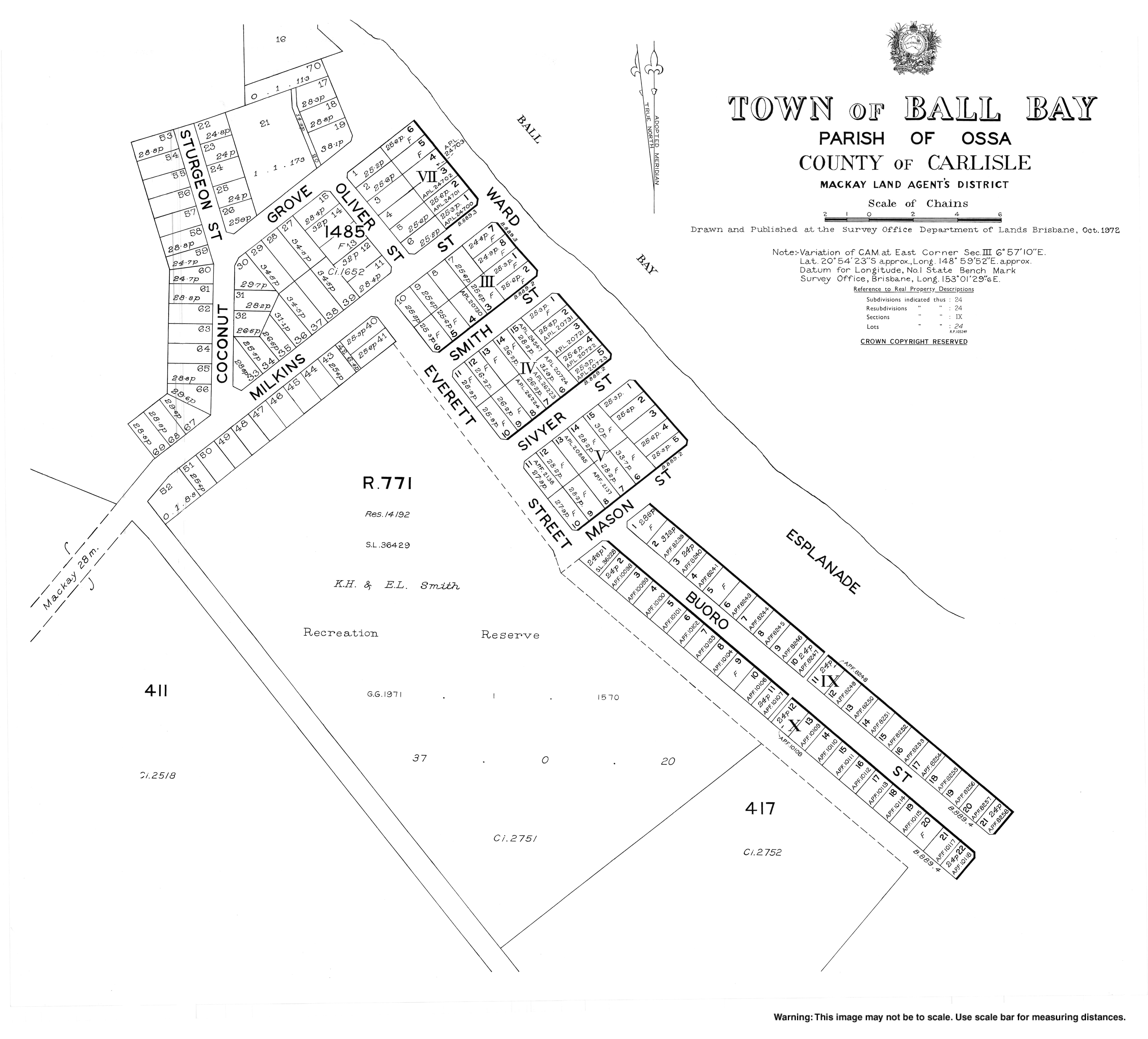
- Town map, 1972
| Ball Bay Queensland | |||||||||||||||
|---|---|---|---|---|---|---|---|---|---|---|---|---|---|---|---|
|
Footprints in the sand at Ball Bay, 1948 | |||||||||||||||
Ball Bay | |||||||||||||||
| Coordinates | 20°54′21″S 148°59′49″E / 20.9058°S 148.9969°E | ||||||||||||||
| Population | 384 ( 2021 census) [1] | ||||||||||||||
| Postcode(s) | 4741 | ||||||||||||||
| Time zone | AEST ( UTC+10:00) | ||||||||||||||
| Location |
| ||||||||||||||
| LGA(s) | Mackay Region | ||||||||||||||
| State electorate(s) | Whitsunday | ||||||||||||||
| Federal division(s) | Dawson | ||||||||||||||
| |||||||||||||||
Ball Bay is a coastal rural town, a locality and a bay in Mackay Region, Queensland, Australia. [2] [3] [4] In the 2021 census, the locality of Ball Bay had a population of 384 people. [1]
Ball Bay is located 43 kilometres (27 mi) north-west of Mackay and 71 kilometres (44 mi) south-east of Proserpine. It is the nearest settlement to Cape Hillsborough National Park. [5]
In the 2011 census, the locality of Ball Bay had a population of 628 people. [6]
In the 2016 census, the locality of Ball Bay had a population of 360 people. [7]
In the 2021 census, the locality of Ball Bay had a population of 384 people. [1]
There are no schools in Ball Bay. The nearest government primary school is Seaforth State School in neighbouring Seaforth to the west. The nearest government secondary school is Mackay North State High School in North Mackay to the south-east. [8]
The Mackay Regional Council operate a camping ground at Ball Bay. Beach fishing is a popular local activity. [5]
The Mackay Regional Council operates a mobile library service on a fortnightly schedule at Coconut Grove. [9] [10]
- ^ a b c Australian Bureau of Statistics (28 June 2022). "Ball Bay (SAL)". 2021 Census QuickStats. Retrieved 28 February 2023.
- ^ "Ball Bay – population centre in the Mackay Region (entry 1362)". Queensland Place Names. Queensland Government. Retrieved 13 November 2019.
- ^ "Ball Bay – locality in the Mackay Region (entry 46758)". Queensland Place Names. Queensland Government. Retrieved 13 November 2019.
- ^ "Ball Bay – bay in the Mackay Region (entry 1361)". Queensland Place Names. Queensland Government. Retrieved 13 November 2019.
- ^ a b "Further North & the Hibiscus Coast" (PDF). Mackay Regional Council. Archived from the original (PDF) on 23 March 2014. Retrieved 22 March 2014.
- ^ Australian Bureau of Statistics (31 October 2012). "Ball Bay". 2011 Census QuickStats. Retrieved 23 March 2014.
- ^ Australian Bureau of Statistics (27 June 2017). "Ball Bay (SSC)accessdate=213 November 2019". 2016 Census QuickStats.
- ^ "Layers: Locality; Schools and school catchments". Queensland Globe. Queensland Government. Retrieved 23 June 2024.
- ^ "Libraries: Contact/Opening Hours". Mackay Regional Council. Archived from the original on 1 March 2016. Retrieved 28 April 2017.
- ^ "Mobile Library Timetable 2017" (PDF). Mackay Regional Council. Archived from the original (PDF) on 1 March 2017. Retrieved 8 May 2017.
- "Ball Bay". Queensland Places. Centre for the Government of Queensland, University of Queensland.
- Town map, 1972