| Alva Queensland | |||||||||||||||
|---|---|---|---|---|---|---|---|---|---|---|---|---|---|---|---|
 Alva Beach at low tide | |||||||||||||||
 Alva | |||||||||||||||
| Coordinates | 19°27′20″S 147°28′52″E / 19.4555°S 147.4811°E | ||||||||||||||
| Population | 214 ( 2021 census) [1] | ||||||||||||||
| • Density | 1.733/km2 (4.488/sq mi) | ||||||||||||||
| Established | 1926 | ||||||||||||||
| Postcode(s) | 4807 | ||||||||||||||
| Area | 123.5 km2 (47.7 sq mi) | ||||||||||||||
| Location |
| ||||||||||||||
| LGA(s) | Shire of Burdekin | ||||||||||||||
| State electorate(s) | Burdekin | ||||||||||||||
| Federal division(s) | Dawson | ||||||||||||||
| |||||||||||||||
Alva is a coastal town and a locality in the Shire of Burdekin, Queensland, Australia. [2] [3] In the 2021 census, the locality of Alva had a population of 214 people. [1]
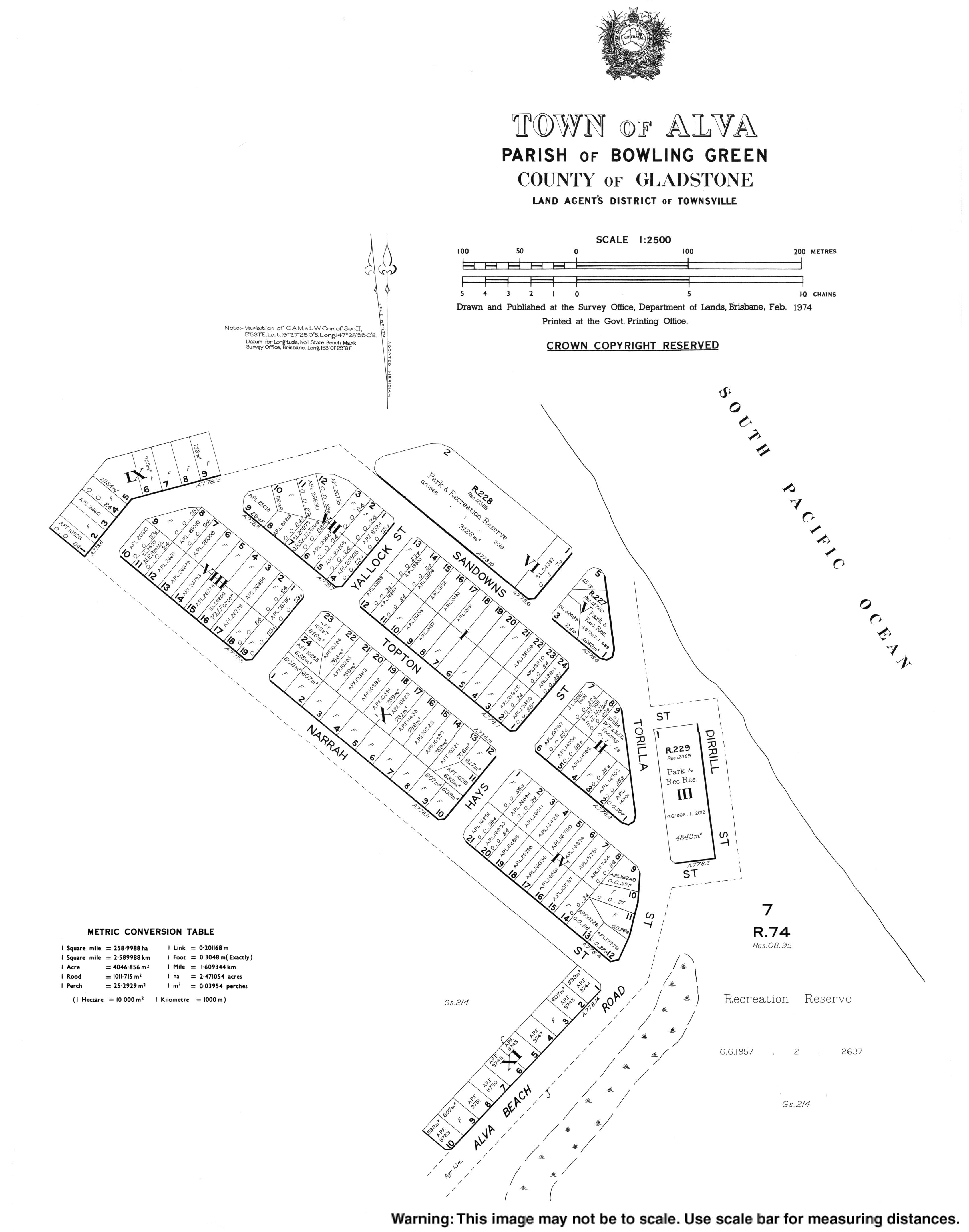
The northern part of Alva is a peninsula extending into the Coral Sea. The peninsula and north-western part of the locality are within the Bowling Green Bay National Park. [4]
Alva Beach, also known as Lynchs Beach, is part of the Burdekin River Delta. [5]
Alva was first surveyed as a town in 1926. [2]
In the 2016 census, the locality of Alva had a population of 279 people. [6]
In the 2021 census, the locality of Alva had a population of 214 people. [1]
There are no schools in Alva. The nearest government primary schools are Brandon State School and Kalamia State School, both in neighbouring Brandon to the south-west. The nearest government secondary school is Ayr State High School in neighbouring Ayr to the south. There are also non-government primary and secondary schools in Ayr. [7]
The town is home to the Ayr Surf Life Saving Club which opened in 1926 at Alva Beach, [8] the Alva Beach Tourist Park, [9] and a dive shop [10] offering trips to the SS Yongala ship wreck.
-
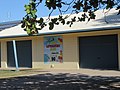 Ayr Surf Life Saving Club
 -
 Alva Beach Tourist Park
 -
 Yongala Dive shop


- ^ a b c Australian Bureau of Statistics (28 June 2022). "Alva (SAL)". 2021 Census QuickStats. Retrieved 28 February 2023.
- ^ a b "Alva – town in Shire of Burdekin (entry 42894)". Queensland Place Names. Queensland Government. Retrieved 18 November 2018.
- ^ "Alva – locality in Shire of Burdekin (entry 44664)". Queensland Place Names. Queensland Government. Retrieved 18 November 2018.
- ^ "Queensland Globe". State of Queensland. Retrieved 19 November 2018.
- ^ "Beachsafe". Beachsafe. Surf Life Saving Australia. Archived from the original on 9 August 2021. Retrieved 9 August 2021.
- ^ Australian Bureau of Statistics (27 June 2017). "Alva (SSC)". 2016 Census QuickStats. Retrieved 20 October 2018.
- ^ "Layers: Locality; Schools and school catchments". Queensland Globe. Queensland Government. Retrieved 22 June 2024.
- ^ "Ayr Surf Life Saving Club". Ayr Surf Life Saving Club. Ayr Surf Life Saving Club. Archived from the original on 9 August 2021. Retrieved 9 August 2021.
- ^ "AlvaBeachTP". Alva Beach Tourist Park. Alva Beach Tourist Park. Archived from the original on 9 August 2021. Retrieved 9 August 2021.
- ^ "Yongala Dive". Yongala Dive. Yongala Dive. Archived from the original on 9 August 2021. Retrieved 9 August 2021.
| Alva Queensland | |||||||||||||||
|---|---|---|---|---|---|---|---|---|---|---|---|---|---|---|---|
|
Alva Beach at low tide | |||||||||||||||
Alva | |||||||||||||||
| Coordinates | 19°27′20″S 147°28′52″E / 19.4555°S 147.4811°E | ||||||||||||||
| Population | 214 ( 2021 census) [1] | ||||||||||||||
| • Density | 1.733/km2 (4.488/sq mi) | ||||||||||||||
| Established | 1926 | ||||||||||||||
| Postcode(s) | 4807 | ||||||||||||||
| Area | 123.5 km2 (47.7 sq mi) | ||||||||||||||
| Location |
| ||||||||||||||
| LGA(s) | Shire of Burdekin | ||||||||||||||
| State electorate(s) | Burdekin | ||||||||||||||
| Federal division(s) | Dawson | ||||||||||||||
| |||||||||||||||
Alva is a coastal town and a locality in the Shire of Burdekin, Queensland, Australia. [2] [3] In the 2021 census, the locality of Alva had a population of 214 people. [1]
The northern part of Alva is a peninsula extending into the Coral Sea. The peninsula and north-western part of the locality are within the Bowling Green Bay National Park. [4]
Alva Beach, also known as Lynchs Beach, is part of the Burdekin River Delta. [5]
Alva was first surveyed as a town in 1926. [2]
In the 2016 census, the locality of Alva had a population of 279 people. [6]
In the 2021 census, the locality of Alva had a population of 214 people. [1]
There are no schools in Alva. The nearest government primary schools are Brandon State School and Kalamia State School, both in neighbouring Brandon to the south-west. The nearest government secondary school is Ayr State High School in neighbouring Ayr to the south. There are also non-government primary and secondary schools in Ayr. [7]
The town is home to the Ayr Surf Life Saving Club which opened in 1926 at Alva Beach, [8] the Alva Beach Tourist Park, [9] and a dive shop [10] offering trips to the SS Yongala ship wreck.
-
Ayr Surf Life Saving Club
-
Alva Beach Tourist Park
-
Yongala Dive shop
- ^ a b c Australian Bureau of Statistics (28 June 2022). "Alva (SAL)". 2021 Census QuickStats. Retrieved 28 February 2023.
- ^ a b "Alva – town in Shire of Burdekin (entry 42894)". Queensland Place Names. Queensland Government. Retrieved 18 November 2018.
- ^ "Alva – locality in Shire of Burdekin (entry 44664)". Queensland Place Names. Queensland Government. Retrieved 18 November 2018.
- ^ "Queensland Globe". State of Queensland. Retrieved 19 November 2018.
- ^ "Beachsafe". Beachsafe. Surf Life Saving Australia. Archived from the original on 9 August 2021. Retrieved 9 August 2021.
- ^ Australian Bureau of Statistics (27 June 2017). "Alva (SSC)". 2016 Census QuickStats. Retrieved 20 October 2018.
- ^ "Layers: Locality; Schools and school catchments". Queensland Globe. Queensland Government. Retrieved 22 June 2024.
- ^ "Ayr Surf Life Saving Club". Ayr Surf Life Saving Club. Ayr Surf Life Saving Club. Archived from the original on 9 August 2021. Retrieved 9 August 2021.
- ^ "AlvaBeachTP". Alva Beach Tourist Park. Alva Beach Tourist Park. Archived from the original on 9 August 2021. Retrieved 9 August 2021.
- ^ "Yongala Dive". Yongala Dive. Yongala Dive. Archived from the original on 9 August 2021. Retrieved 9 August 2021.