Photos • Location
| Achnashellach Forest Scottish Gaelic: Ach nan Seileach | |
|---|---|
 Achnashellach Forest | |
| Map | |
| Geography | |
| Location | Highlands, United Kingdom |
| Coordinates | 57°29′N 5°18′W / 57.48°N 5.3°W |
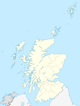
Achnashellach Forest ( Scottish Gaelic: Ach nan Seileach field of the willows [1]) is a large area of the Scottish Highlands lying between Glen Carron and Loch Monar.
It is accessible from the A890 road, which runs through it and from Achnashellach railway station.
External links
- Website for visitors to the forest
- Map sources for Achnashellach Forest
References
- ^ Field, John (1980). Place-names of Great Britain and Ireland. Newton Abbot, Devon: David & Charles. p. 22. ISBN 0389201545. OCLC 6964610.
| Achnashellach Forest Scottish Gaelic: Ach nan Seileach | |
|---|---|
 Achnashellach Forest | |
| Map | |
| Geography | |
| Location | Highlands, United Kingdom |
| Coordinates | 57°29′N 5°18′W / 57.48°N 5.3°W |
Achnashellach Forest ( Scottish Gaelic: Ach nan Seileach field of the willows [1]) is a large area of the Scottish Highlands lying between Glen Carron and Loch Monar.
It is accessible from the A890 road, which runs through it and from Achnashellach railway station.
External links
- Website for visitors to the forest
- Map sources for Achnashellach Forest
References
- ^ Field, John (1980). Place-names of Great Britain and Ireland. Newton Abbot, Devon: David & Charles. p. 22. ISBN 0389201545. OCLC 6964610.
