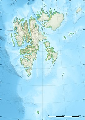
Photos • Location
| Abeltoppen | |
|---|---|
| Highest point | |
| Elevation | 1,123 m (3,684 ft) |
| Coordinates | 78°51′00″N 15°53′06″E / 78.850°N 15.885°E |
| Geography | |
| Location | Dickson Land, Svalbard, Norway |
Abeltoppen is a mountain in Dickson Land at Spitsbergen, Svalbard. It is named after Norwegian mathematician Niels Henrik Abel. The mountain has a height of 1,123 m.a.s.l. and is situated between Austfjorden and Dicksonfjorden. [1] [2] The two kilometer long ridge of Abelskuten extends northwards from Abeltoppen. [3]
References
- ^ Lauritzen, Per Roger, ed. (2009). "Abeltoppen". Norsk Fjelleksikon (in Norwegian). Arendal: Friluftsforlaget. ISBN 978-82-91-49547-7.
- ^ "Abeltoppen (Svalbard)". Norwegian Polar Institute. Retrieved 10 March 2015.
- ^ "Abelskuten (Svalbard)". Norwegian Polar Institute. Retrieved 10 March 2015.
