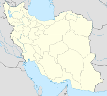
| Geography | |
|---|---|
| Location | Khuzestan, Iran |
| Coordinates | 30°05′N 48°32′E / 30.083°N 48.533°E |
| Administration | |
Iran | |
Abadan Island is an island in the delta of the Shatt al-Arab in Iran and is the site of the city of Abadan. The island hosted Anglo-Iranian Oil Company's Abadan Refinery, [1] around which Iranian Prime Minister Mohammad Mossadegh's nationalization movement was centered. [2] Iran and the Ottomans had long had competing claims over Ābādān Island, which was ceded to Iran by Turkey in 1847. [3]
See also
References
- ^ "Ābādān - Iran". Encyclopedia Britannica. Retrieved 3 June 2018.
- ^ "BP and Iran: The Forgotten History". cbsnews. Retrieved 3 June 2018.
- ^ "Abadan". Columbia Encyclopedia (6 ed.). 2000. p. 2.
