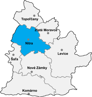
Štitáre ( Hungarian: Alsócsitár) is a village and municipality in the Nitra District in western central Slovakia, in the Nitra Region. [1]
Geography
The village lies at an altitude of about 240 metres and covers an area of 7.494 km2. In 2016 it had a population of 872 people. [2] It lies 7 km north-east to the historic city of Nitra. It is surrounded by Zobor mountain range in the north and agricultural fields in the south.
References
- ^ "Štitáre – Okres Nitra". E-OBCE.sk (in Slovak). Retrieved 2019-09-21.
- ^ "Demographic statistics Municipality of STITÁRE". ugeo.urbistat.com (in Latin). Retrieved 2019-09-21.
External links
48°21′00″N 18°09′30″E / 48.35000°N 18.15833°E