Photos • Location


Size of this preview:
800 × 512 pixels. Other resolutions:
320 × 205 pixels |
640 × 409 pixels |
1,024 × 655 pixels |
1,280 × 819 pixels |
2,560 × 1,637 pixels |
4,874 × 3,117 pixels.
Original file (4,874 × 3,117 pixels, file size: 8.08 MB, MIME type: image/jpeg)
| This is a file from the
Wikimedia Commons. Information from its
description page there is shown below. Commons is a freely licensed media file repository. You can help. |
.jpg)
Summary
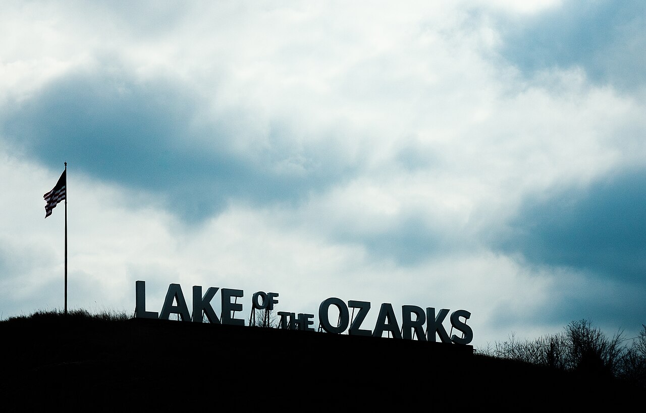
| Description | Signage for Lake of the Ozarks, along US Route 54 near Lake Ozark, Missouri. |
| Date | |
| Source | Lake of the Ozarks - Missouri |
| Author | Tony Webster from Minneapolis, Minnesota, United States |
| Camera location |
| View this and other nearby images on: OpenStreetMap |
|
|---|
.jpg¶ms=038.184872_N_-092.608248_E_globe:Earth_type:camera_source:Flickr_&language=en)
Licensing
This file is licensed under the
Creative Commons
Attribution 2.0 Generic license.
- You are free:
- to share – to copy, distribute and transmit the work
- to remix – to adapt the work
- Under the following conditions:
- attribution – You must give appropriate credit, provide a link to the license, and indicate if changes were made. You may do so in any reasonable manner, but not in any way that suggests the licensor endorses you or your use.
| This image was originally posted to Flickr by Tony Webster at https://flickr.com/photos/87296837@N00/40533516433 ( archive). It was reviewed on 2 April 2019 by FlickreviewR 2 and was confirmed to be licensed under the terms of the cc-by-2.0. |
File history
Click on a date/time to view the file as it appeared at that time.
| Date/Time | Thumbnail | Dimensions | User | Comment | |
|---|---|---|---|---|---|
| current | 14:51, 2 April 2019 |
| 4,874 × 3,117 (8.08 MB) | Tony Webster | Transferred from Flickr via #flickr2commons |
File usage
The following pages on the English Wikipedia use this file (pages on other projects are not listed):
Global file usage
The following other wikis use this file:
- Usage on ro.wikipedia.org
- Usage on sr.wikipedia.org
Metadata
.jpg)
Size of this preview:
800 × 512 pixels. Other resolutions:
320 × 205 pixels |
640 × 409 pixels |
1,024 × 655 pixels |
1,280 × 819 pixels |
2,560 × 1,637 pixels |
4,874 × 3,117 pixels.
Original file (4,874 × 3,117 pixels, file size: 8.08 MB, MIME type: image/jpeg)
| This is a file from the
Wikimedia Commons. Information from its
description page there is shown below. Commons is a freely licensed media file repository. You can help. |
Summary
| Description | Signage for Lake of the Ozarks, along US Route 54 near Lake Ozark, Missouri. |
| Date | |
| Source | Lake of the Ozarks - Missouri |
| Author | Tony Webster from Minneapolis, Minnesota, United States |
| Camera location |
| View this and other nearby images on: OpenStreetMap |
|
|---|
Licensing
This file is licensed under the
Creative Commons
Attribution 2.0 Generic license.
- You are free:
- to share – to copy, distribute and transmit the work
- to remix – to adapt the work
- Under the following conditions:
- attribution – You must give appropriate credit, provide a link to the license, and indicate if changes were made. You may do so in any reasonable manner, but not in any way that suggests the licensor endorses you or your use.
| This image was originally posted to Flickr by Tony Webster at https://flickr.com/photos/87296837@N00/40533516433 ( archive). It was reviewed on 2 April 2019 by FlickreviewR 2 and was confirmed to be licensed under the terms of the cc-by-2.0. |
File history
Click on a date/time to view the file as it appeared at that time.
| Date/Time | Thumbnail | Dimensions | User | Comment | |
|---|---|---|---|---|---|
| current | 14:51, 2 April 2019 |
| 4,874 × 3,117 (8.08 MB) | Tony Webster | Transferred from Flickr via #flickr2commons |
File usage
The following pages on the English Wikipedia use this file (pages on other projects are not listed):
Global file usage
The following other wikis use this file:
- Usage on ro.wikipedia.org
- Usage on sr.wikipedia.org