Original file (4,000 × 3,000 pixels, file size: 2.92 MB, MIME type: image/jpeg)
| This is a file from the
Wikimedia Commons. Information from its
description page there is shown below. Commons is a freely licensed media file repository. You can help. |
.jpg)
Summary
| Description |
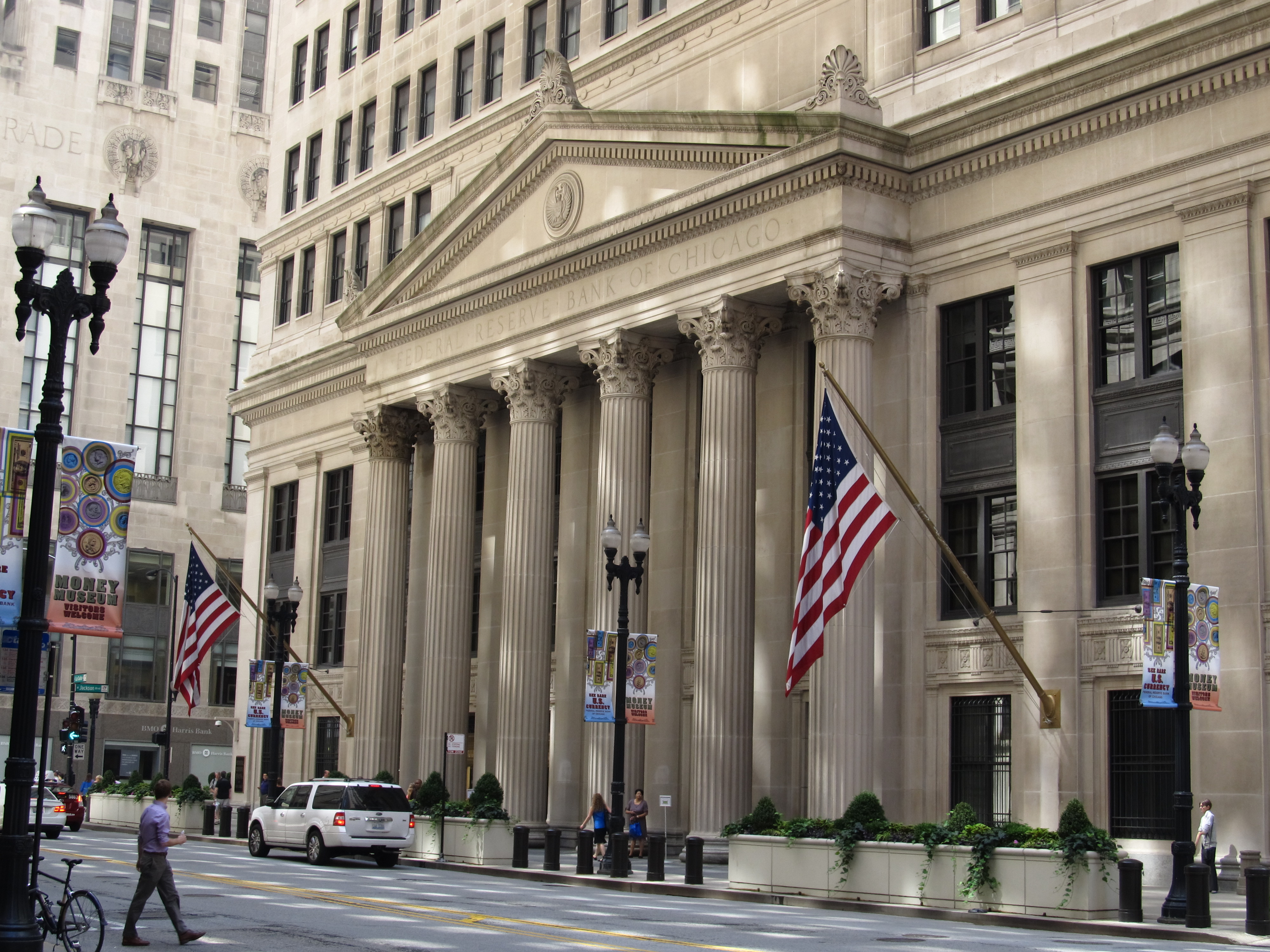
The Federal Reserve Bank of Chicago (informally the Chicago Fed) is one of twelve regional Reserve Banks that, along with the Board of Governors in Washington, D.C., make up the nation's central bank. The Chicago Reserve Bank serves the Seventh Federal Reserve District, which encompasses the northern portions of Illinois and Indiana, southern Wisconsin, the Lower Peninsula of Michigan, and the state of Iowa. In addition to participation in the formulation of monetary policy, each Reserve Bank supervises member banks and bank holding companies, provides financial services to depository institutions and the U.S. government, and monitors economic conditions in its District. en.wikipedia.org/wiki/Federal_Reserve_Bank_of_Chicago en.wikipedia.org/wiki/Wikipedia:Text_of_Creative_Commons_... |
| Date | |
| Source | Federal Reserve Bank of Chicago, Chicago, Illinois |
| Author | Ken Lund from Reno, Nevada, USA |
| Camera location |
| View this and other nearby images on: OpenStreetMap |
|
|---|
.jpg¶ms=041.878803_N_-087.632360_E_globe:Earth_type:camera_source:Flickr_&language=en)
Licensing
- You are free:
- to share – to copy, distribute and transmit the work
- to remix – to adapt the work
- Under the following conditions:
- attribution – You must give appropriate credit, provide a link to the license, and indicate if changes were made. You may do so in any reasonable manner, but not in any way that suggests the licensor endorses you or your use.
- share alike – If you remix, transform, or build upon the material, you must distribute your contributions under the same or compatible license as the original.
| This image was originally posted to Flickr by Ken Lund at https://flickr.com/photos/75683070@N00/9181618932. It was reviewed on 2 March 2017 by FlickreviewR and was confirmed to be licensed under the terms of the cc-by-sa-2.0. |
File history
Click on a date/time to view the file as it appeared at that time.
| Date/Time | Thumbnail | Dimensions | User | Comment | |
|---|---|---|---|---|---|
| current | 02:45, 2 March 2017 |
| 4,000 × 3,000 (2.92 MB) | Victorgrigas | Transferred from Flickr via Flickr2Commons |
File usage
Global file usage
The following other wikis use this file:
Metadata
.jpg)
Original file (4,000 × 3,000 pixels, file size: 2.92 MB, MIME type: image/jpeg)
| This is a file from the
Wikimedia Commons. Information from its
description page there is shown below. Commons is a freely licensed media file repository. You can help. |
Summary
| Description |
The Federal Reserve Bank of Chicago (informally the Chicago Fed) is one of twelve regional Reserve Banks that, along with the Board of Governors in Washington, D.C., make up the nation's central bank. The Chicago Reserve Bank serves the Seventh Federal Reserve District, which encompasses the northern portions of Illinois and Indiana, southern Wisconsin, the Lower Peninsula of Michigan, and the state of Iowa. In addition to participation in the formulation of monetary policy, each Reserve Bank supervises member banks and bank holding companies, provides financial services to depository institutions and the U.S. government, and monitors economic conditions in its District. en.wikipedia.org/wiki/Federal_Reserve_Bank_of_Chicago en.wikipedia.org/wiki/Wikipedia:Text_of_Creative_Commons_... |
| Date | |
| Source | Federal Reserve Bank of Chicago, Chicago, Illinois |
| Author | Ken Lund from Reno, Nevada, USA |
| Camera location |
| View this and other nearby images on: OpenStreetMap |
|
|---|
Licensing
- You are free:
- to share – to copy, distribute and transmit the work
- to remix – to adapt the work
- Under the following conditions:
- attribution – You must give appropriate credit, provide a link to the license, and indicate if changes were made. You may do so in any reasonable manner, but not in any way that suggests the licensor endorses you or your use.
- share alike – If you remix, transform, or build upon the material, you must distribute your contributions under the same or compatible license as the original.
| This image was originally posted to Flickr by Ken Lund at https://flickr.com/photos/75683070@N00/9181618932. It was reviewed on 2 March 2017 by FlickreviewR and was confirmed to be licensed under the terms of the cc-by-sa-2.0. |
File history
Click on a date/time to view the file as it appeared at that time.
| Date/Time | Thumbnail | Dimensions | User | Comment | |
|---|---|---|---|---|---|
| current | 02:45, 2 March 2017 |
| 4,000 × 3,000 (2.92 MB) | Victorgrigas | Transferred from Flickr via Flickr2Commons |
File usage
Global file usage
The following other wikis use this file: